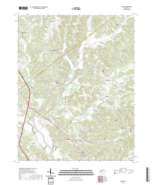
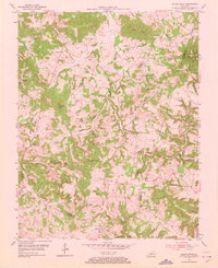
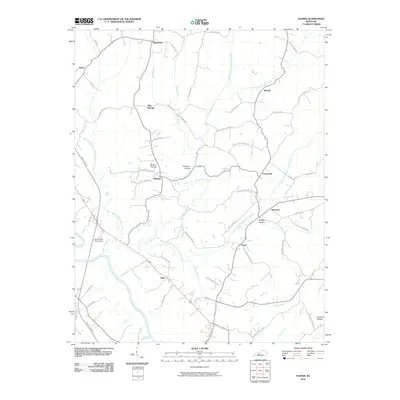
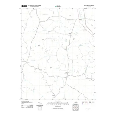
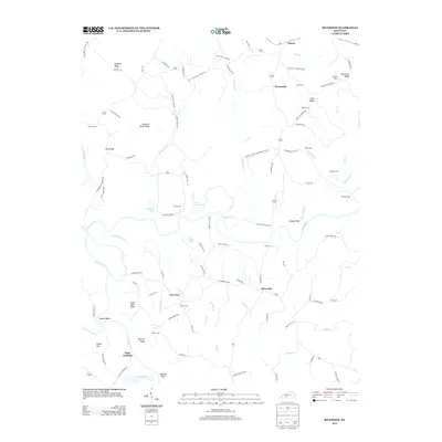
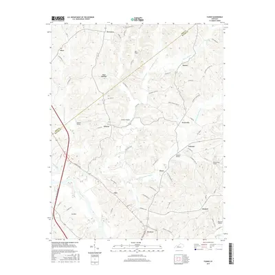
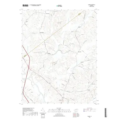
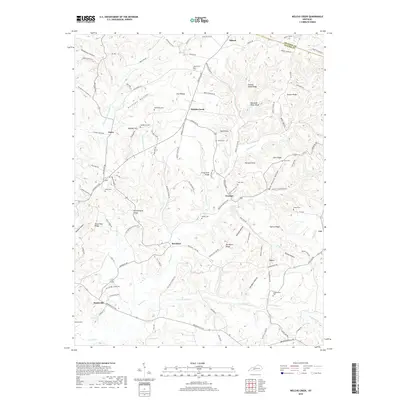
2022 Map of Flener
USGS Topo · Published 2022About this map
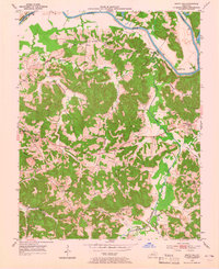
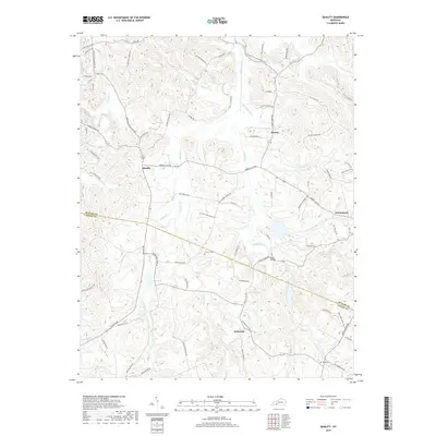
The Green River carves a deep arc through the southwestern corner of this landscape, creating the prominent Big Bend south of Aberdeen. This area along the Ohio Co and Butler Co line is characterized by a dense network of small family and church cemeteries, which serve as vital markers of the region's genealogical history. Clusters of activity are found at Gilstrap and Flener, where the terrain is defined by winding drainage systems like Indian Camp Creek and its various prongs. The upland areas, such as Pea Ridge, are dissected by numerous hollows, including Wolfpen Hollow and Possum Hollow, reflecting a traditional Kentucky settlement pattern where homes and roads follow the narrow valley floors and ridgelines. Local institutions like McKendree Chapel and the Aberdeen Baptist Church anchor these rural communities.
Find a feature on this map
96 named features on this map. Tap any name to fly to it.
Don’t see what you’re looking for? This feature index may not catch every label — zoom into the map to look around manually.
Map Details
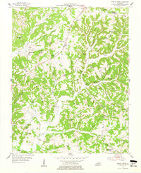
Editions of this 2022 Flener Map
This is the sole edition of this map. No revisions or reprints were ever made.
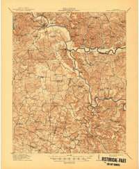
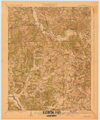
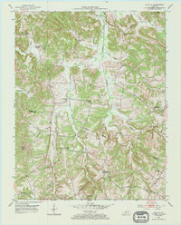
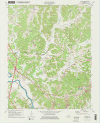
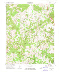
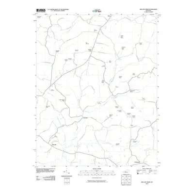
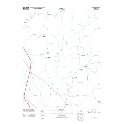
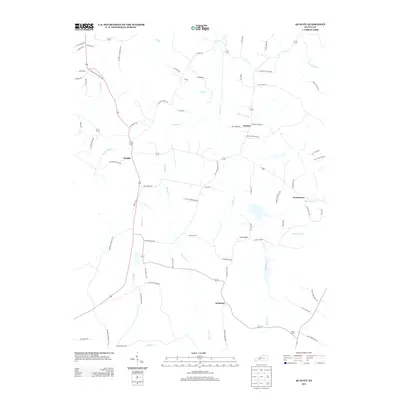
Historical Maps of Dexterville Through Time
46 maps found
1914 Little Muddy
Butler County, KY
1925 Spring Lick
Butler County, KY
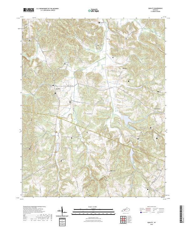
1953 Quality
Butler County, KY
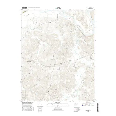
1953 South Hill
Butler County, KY
1954 Flener
Butler County, KY
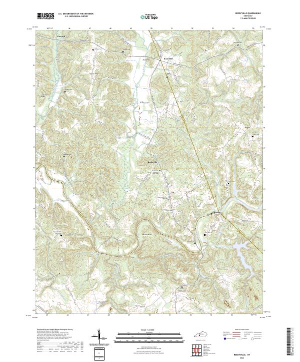
1954 Reedyville
Butler County, KY
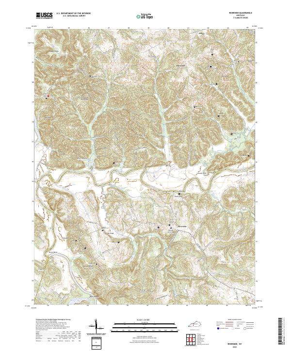
1954 Riverside
Butler County, KY
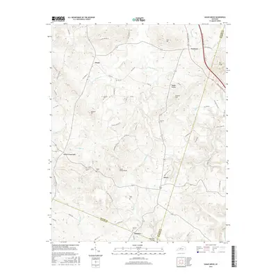
1954 Sugar Grove
Butler County, KY
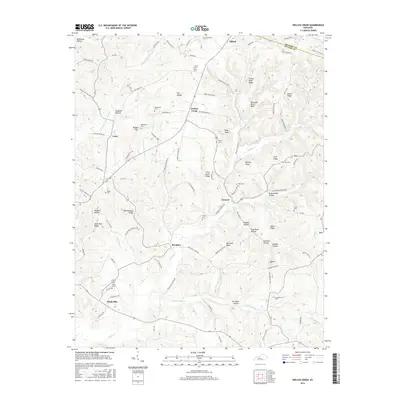
1954 Welchs Creek
Butler County, KY
1973 Flener
Butler County, KY
1973 Sugar Grove
Butler County, KY
2010 Flener
Butler County, KY
2010 Quality
Butler County, KY

2010 Reedyville
Butler County, KY
2010 Riverside
Butler County, KY
2010 South Hill
Butler County, KY
2010 Sugar Grove
Butler County, KY
2010 Welchs Creek
Butler County, KY
2013 Flener
Butler County, KY
2013 Quality
Butler County, KY

2013 Reedyville
Butler County, KY
2013 Riverside
Butler County, KY
2013 South Hill
Butler County, KY
2013 Sugar Grove
Butler County, KY
2013 Welchs Creek
Butler County, KY
2016 Flener
Butler County, KY
2016 Quality
Butler County, KY
2016 Reedyville
Butler County, KY
2016 Riverside
Butler County, KY
2016 South Hill
Butler County, KY
2016 Sugar Grove
Butler County, KY
2016 Welchs Creek
Butler County, KY
2019 Flener
Butler County, KY
2019 Quality
Butler County, KY

2019 Reedyville
Butler County, KY
2019 Riverside
Butler County, KY
2019 South Hill
Butler County, KY
2019 Sugar Grove
Butler County, KY
2019 Welchs Creek
Butler County, KY
2022 Flener
Butler County, KY
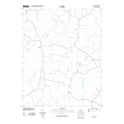
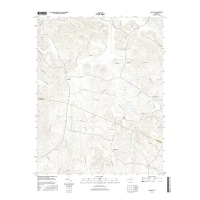
2022 Quality
Butler County, KY
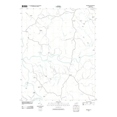
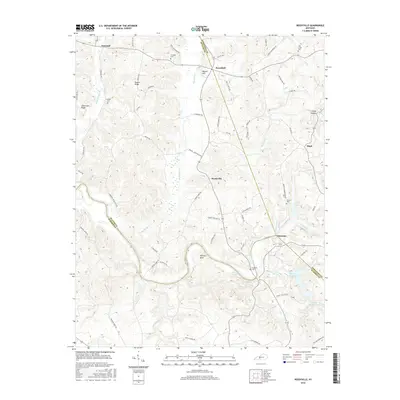
2022 Reedyville
Butler County, KY
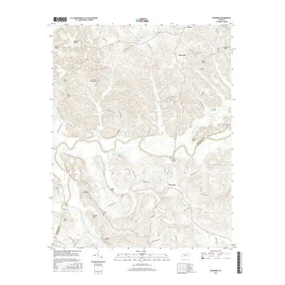
2022 Riverside
Butler County, KY
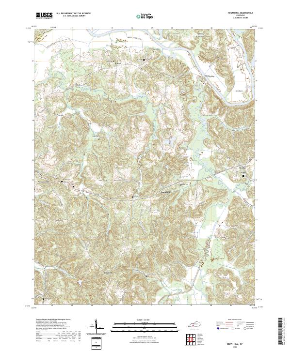
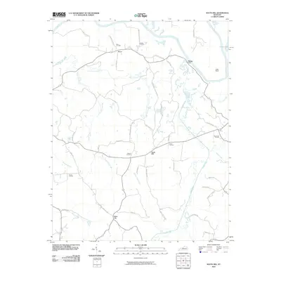
2022 South Hill
Butler County, KY
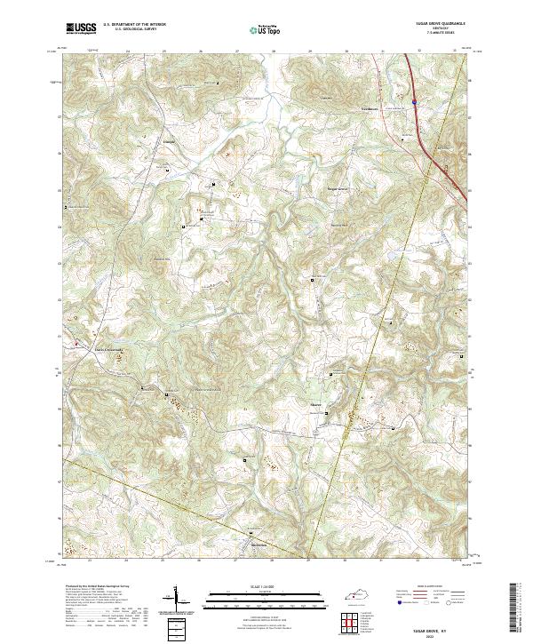
2022 Sugar Grove
Butler County, KY
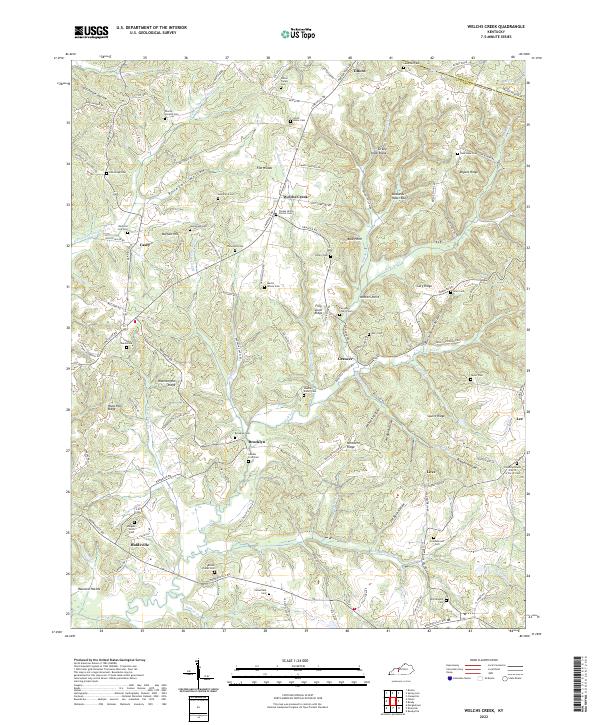
2022 Welchs Creek
Butler County, KY