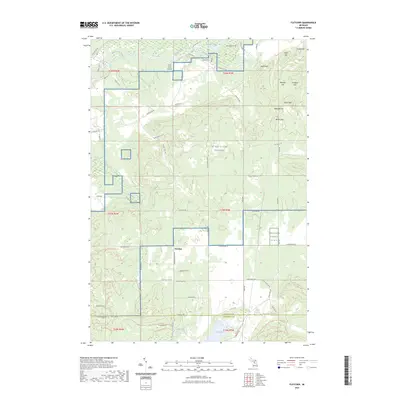
2023 Map of Fletcher
USGS Topo · Published 2023About this map
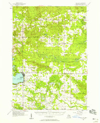
Fletcher serves as a focal point in this portion of Northern Michigan, situated where the Kalkaska Co Missaukee Co line divides the landscape. The region is defined by a dense network of forest service roads and trails, including the North Missaukee Route Trl and the Kalkaska Route Trl, which navigate the undulating terrain of the High Plains. To the north, the Manistee River meanders through a valley fed by tributaries like Goose Creek and Black Creek, while the presence of the King Trout Airport indicates the area's utility for regional aviation.
Find a feature on this map
71 named features on this map. Tap any name to fly to it.
Don’t see what you’re looking for? This feature index may not catch every label — zoom into the map to look around manually.
Map Details
Editions of this 2023 Fletcher Map
This is the sole edition of this map. No revisions or reprints were ever made.
Other maps of this area
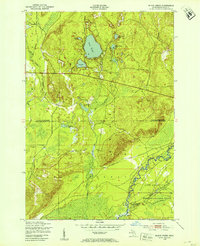
1949 · Black Creek
USGS Topo · 1:24,000
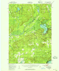
1949 · Fletcher
USGS Topo · 1:62,500
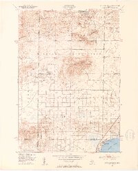
1950 · Cote Dame Marie
USGS Topo · 1:24,000
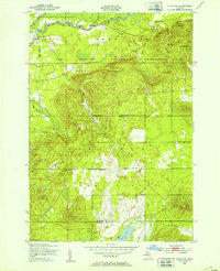
1950 · Fletcher
USGS Topo · 1:24,000
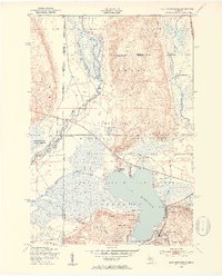
1950 · Lake Margrethe
USGS Topo · 1:24,000

1954 · Traverse City
USGS Topo · 1:250,000
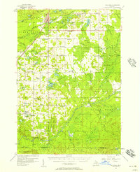
1956 · Kalkaska
USGS Topo · 1:62,500
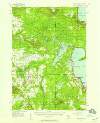
1956 · Houghton Lake
USGS Topo · 1:62,500
1956 · Lake City
USGS Topo · 1:62,500

1958 · Traverse City
USGS Topo · 1:250,000