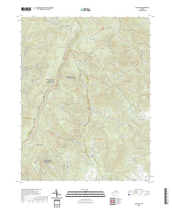
2022 Map of Fletcher
USGS Topo · Published 2022About this map
Shenandoah National Park and the Appalachian National Scenic Trail dominate this landscape where Madison and Page, Greene, and Rockingham counties converge. The high elevations of the Blue Ridge are marked by prominent points like Hazeltop and Bearfence Mtn, with Skyline Drive tracing the ridge line. Below the peaks, the terrain is deeply dissected by drainages such as Pocosin Hollow and McDaniel Hollow, where local family history is preserved at the Lower Pocosin Mission Cem and Shiflett Cem.
Find a feature on this map
110 named features on this map. Tap any name to fly to it.
Don’t see what you’re looking for? This feature index may not catch every label — zoom into the map to look around manually.
Map Details
Editions of this 2022 Fletcher Map
This is the sole edition of this map. No revisions or reprints were ever made.
Other maps of this area

1892 · Woodstock
USGS Topo · 1:125,000

1892 · Gordonsville
USGS Topo · 1:125,000

1892 · Harrisonburg
USGS Topo · 1:125,000

1893 · Luray
USGS Topo · 1:125,000

1905 · Luray
USGS Topo · 1:125,000

1929 · Stony Man
USGS Topo · 1:48,000

1930 · Madison
USGS Topo · 1:48,000

1933 · Stony Man
USGS Topo · 1:62,500

1933 · Madison
USGS Topo · 1:62,500

1937 · Elkton
USGS Topo · 1:62,500