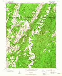
1951 Map of Flintstone
USGS Topo · Published 1951About this map
Flintstone serves as the central hub of this 1950s survey, situated along the historic National Pike where it threads between the imposing ridges of Tussey Mountain and Warrior Mountain. The landscape is defined by the sharp parallel ridges characteristic of the Appalachians, including Polish Mountain and Ragged Mountain, which dictate the paths of early Maryland transportation. Along the northern edge, the legendary Mason and Dixon Line marks the political boundary between Pennsylvania and Maryland.
Find a feature on this map
37 named features on this map. Tap any name to fly to it.
Don’t see what you’re looking for? This feature index may not catch every label — zoom into the map to look around manually.
Map Details
Editions of this 1951 Flintstone Map
2 editions found
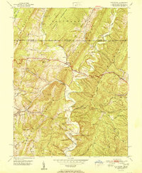
Other maps of this area

1898 · Paw Paw
USGS Topo · 1:62,500

1899 · Flintstone
USGS Topo · 1:62,500

1900 · Pawpaw
USGS Topo · 1:62,500

1900 · Flintstone
USGS Topo · 1:62,500

1910 · Paw Paw
USGS Topo · 1:62,500

1927 · Clearville
USGS Topo · 1:48,000

1927 · Hyndman
USGS Topo · 1:62,500

1931 · Clearville
USGS Topo · 1:62,500

1931 · Hyndman
USGS Topo · 1:62,500

1944 · Hyndman
USGS Topo · 1:62,500