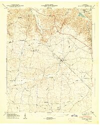
1947 Map of Flintville
USGS Topo · Published 1948About this map
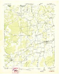
Flintville serves as the central hub for this Lincoln County landscape, situated along the Nashville Chattanooga and St Louis railroad line and the Flint River. The 1947 field survey reveals a settled agricultural and industrial network, including the State Fish Hatchery and the Fayetteville Pumping Station located in the northwest. The terrain is defined by the high ground of Pea Ridge and numerous hollows such as Warren Hollow and Buckeye Hollow, which channel water into Mulepen Creek and the Flint River.
Find a feature on this map
61 named features on this map. Tap any name to fly to it.
Don’t see what you’re looking for? This feature index may not catch every label — zoom into the map to look around manually.
Map Details
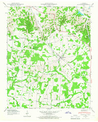
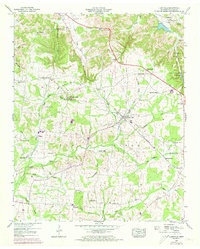
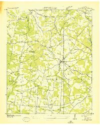
Editions of this 1947 Flintville Map
3 editions found
Other maps of this area

1888 · Scottsboro
USGS Topo · 1:125,000

1888 · Huntsville
USGS Topo · 1:125,000

1892 · Huntsville
USGS Topo · 1:125,000

1892 · Scottsboro
USGS Topo · 1:125,000

1936 · King Cove
USGS Topo · 1:24,000
1936 · Flintville
USGS Topo · 1:24,000

1936 · Fisk
USGS Topo · 1:24,000

1936 · Lincoln
USGS Topo · 1:24,000
1936 · Huntland
USGS Topo · 1:24,000
1936 · New Market
USGS Topo · 1:24,000