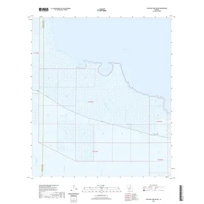
2020 Map of Floating Turf Bayou
USGS Topo · Published 2020About this map
White Lake dominates the northern expanse of this coastal landscape, where the marshlands of Vermilion Parish meet the Gulf transition zone. The settlement of Pecan Island occupies a distinct topographic rise in the southeast, serving as a primary point of human habitation amidst an intricate network of waterways. Water management and drainage are central to the area's geography, evidenced by features such as Long Island Ditch, Big Pecan Ditch, and Hump Ditch. These man-made channels intersect with natural drainages like Floating Turf Bayou and Pigeon Bayou, illustrating the long-standing efforts to navigate and utilize the low-lying prairie and marsh. The presence of several smaller bodies of water, including Alligator Lake, Grande Volle Lake, and Bear Lake, further defines the aquatic character of the region, while La 82 provides the essential corridor for transit through the wetlands.
Find a feature on this map
19 named features on this map. Tap any name to fly to it.
Don’t see what you’re looking for? This feature index may not catch every label — zoom into the map to look around manually.
Map Details
Editions of this 2020 Floating Turf Bayou Map
This is the sole edition of this map. No revisions or reprints were ever made.
Other maps of this area

1932 · Constance Bayou NE
USGS Topo · 1:31,680

1932 · Constance Bayou SW
USGS Topo · 1:31,680

1932 · Pecan Island SW
USGS Topo · 1:31,680

1932 · Constance Bayou SE
USGS Topo · 1:31,680

1932 · Constance Bayou NW
USGS Topo · 1:31,680

1945 · Pecan Island NW
USGS Topo · 1:31,680

1946 · Schooner Bayou SW
USGS Topo · 1:31,680

1951 · Pecan Island
USGS Topo · 1:62,500

1953 · Jacks Point Island
USGS Topo · 1:24,000

1954 · Grand Lake East SE
USGS Topo · 1:31,680