
1932 Map of Constance Bayou SW
USGS Topo · Published 1932About this map
Big Constance Lake and its surrounding marshlands dominate this 1932 coastal survey of Cameron Parish. Compiled by the U.S. Geological Survey using aerial photographs from the Army Air Corps, the map captures the intricate hydrology of the Louisiana shoreline before significant modern modification. The drainage pattern is defined by Constance Bayou and its smaller counterpart, Little Constance Bayou, which thread through the wetlands to meet the Gulf of Mexico. The shoreline itself is rendered with fine detail, showing the narrow barrier between the open sea and interior waters like Little Constance Lake. This advance sheet represents an early application of aerial photogrammetry in mapping the Gulf Coast, providing a precise record of the natural land lines and tidal features as they existed in the early 1930s.
Find a feature on this map
5 named features on this map. Tap any name to fly to it.
Don’t see what you’re looking for? This feature index may not catch every label — zoom into the map to look around manually.
Map Details
Editions of this 1932 Constance Bayou SW Map
This is the sole edition of this map. No revisions or reprints were ever made.
Other maps of this area

1932 · Constance Bayou NE
USGS Topo · 1:31,680

1932 · Constance Bayou SE
USGS Topo · 1:31,680

1932 · Constance Bayou NW
USGS Topo · 1:31,680

1946 · Hog Bayou NE
USGS Topo · 1:31,680

1949 · Hog Bayou NE
USGS Topo · 1:31,680
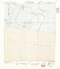
1954 · Constance Bayou SE
USGS Topo · 1:31,680
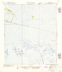
1954 · Constance Bayou NW
USGS Topo · 1:31,680
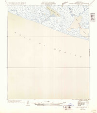
1954 · Constance Bayou SW
USGS Topo · 1:31,680

1954 · Port Arthur
USGS Topo · 1:250,000
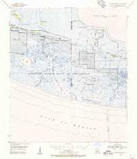
1955 · Constance Bayou
USGS Topo · 1:62,500