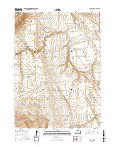
2017 Map of Flook Lake
USGS Topo · Published 2017About this map
Flook Lake and its surrounding wetlands occupy a central depression in this high-desert landscape of Lake County. This area is defined by sharp topographic changes, where significant elevations like Blizzard Ridge and Swede Knoll overlook a network of seasonal water sources and drainages. The presence of Poker Jim Spring and Antelope Spring indicates the critical role of reliable water in this arid environment, while man-made features like Reservoir Lake suggest historical efforts to manage these resources for ranching or land use.
Find a feature on this map
15 named features on this map. Tap any name to fly to it.
Don’t see what you’re looking for? This feature index may not catch every label — zoom into the map to look around manually.
Map Details
Editions of this 2017 Flook Lake Map
This is the sole edition of this map. No revisions or reprints were ever made.
Other maps of this area

1955 · Adel
USGS Topo · 1:250,000

1957 · Adel
USGS Topo · 1:250,000

1958 · Adel
USGS Topo · 1:250,000

1962 · Adel
USGS Topo · 1:250,000

1966 · Bluejoint Lake East
USGS Topo · 1:24,000

1967 · Campbell Lake
USGS Topo · 1:24,000

1967 · Flook Lake
USGS Topo · 1:24,000

1967 · Bluejoint Lake West
USGS Topo · 1:24,000

1967 · Warner Peak
USGS Topo · 1:24,000

1967 · Swede Knoll
USGS Topo · 1:24,000