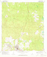
1971 Map of Florala
USGS Topo · Published 1973About this map
Florala sits at the southern edge of Covington County, positioned where the Florida State Line meets the Base Line. This early 1970s survey captures the community’s layout around Lake Jackson, showing a network of local schools including Harlan Sch, Carver Sch, and the High Sch. The neighboring settlement of Lockhart is clearly defined, revealing a residential pattern distinct from the larger commercial hub of Florala.
Find a feature on this map
33 named features on this map. Tap any name to fly to it.
Don’t see what you’re looking for? This feature index may not catch every label — zoom into the map to look around manually.
Map Details
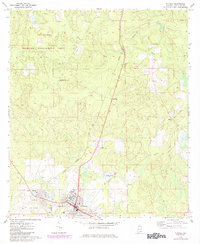
Editions of this 1971 Florala Map
2 editions found
Other maps of this area

1949 · Glendale
USGS Topo · 1:62,500

1949 · Laurel Hill
USGS Topo · 1:62,500

1950 · Laurel Hill
USGS Topo · 1:62,500

1951 · Glendale
USGS Topo · 1:62,500

1953 · Andalusia
USGS Topo · 1:250,000

1957 · Andalusia
USGS Topo · 1:250,000

1957 · Pensacola
USGS Topo · 1:250,000

1959 · Pensacola
USGS Topo · 1:250,000

1960 · Pensacola
USGS Topo · 1:250,000
1969 · Hacoda
USGS Topo · 1:24,000