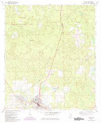
1971 Map of Florala
USGS Topo · Published 1984About this map
Lake Jackson sits at the heart of this landscape, positioned directly against the Florida State Line where the settlement of Florala flourished. The town's grid extends toward the shore, supported by the Seaboard Coast Line railroad and local institutions like Harlan Sch and the High Sch. The map reveals a transition from these organized town centers to the dense, rolling terrain of the Covington Wildlife Management Area to the northwest. To the east, the industrial and agrarian history of the region is evident in the Old Railroad Grade and small settlements like McRae, Stedman, and Johnsons Quarters. This survey provides a distinct view of the Covington County borderlands during a period of infrastructure expansion, including the Florala Municipal Airport and a modern Rest Area, while maintaining its traditional logging and rail-oriented layout.
Find a feature on this map
29 named features on this map. Tap any name to fly to it.
Don’t see what you’re looking for? This feature index may not catch every label — zoom into the map to look around manually.
Map Details
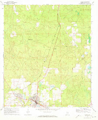
Editions of this 1971 Florala Map
2 editions found
Other maps of this area

1949 · Glendale
USGS Topo · 1:62,500

1949 · Laurel Hill
USGS Topo · 1:62,500

1950 · Laurel Hill
USGS Topo · 1:62,500

1951 · Glendale
USGS Topo · 1:62,500

1953 · Andalusia
USGS Topo · 1:250,000

1957 · Andalusia
USGS Topo · 1:250,000

1957 · Pensacola
USGS Topo · 1:250,000

1959 · Pensacola
USGS Topo · 1:250,000

1960 · Pensacola
USGS Topo · 1:250,000
1969 · Hacoda
USGS Topo · 1:24,000