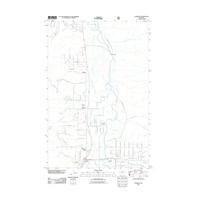
2011 Map of Florence
USGS Topo · Published 2011About this map
The Bitterroot River valley anchors this detailed survey of Ravalli County, Montana, showing the early 21st-century footprint of riverside settlements and agricultural corridors. The community of Florence is the primary hub, where the Florence Post Office and Florence Fire Sta Dist 1 serve the growing residential areas. To the north, the smaller locales of Carlton and McClain transition into a landscape shaped by significant tributaries like One Horse Creek and Eightmile Creek.
Find a feature on this map
107 named features on this map. Tap any name to fly to it.
Don’t see what you’re looking for? This feature index may not catch every label — zoom into the map to look around manually.
Map Details
Editions of this 2011 Florence Map
This is the sole edition of this map. No revisions or reprints were ever made.
Other maps of this area

1903 · Bonner
USGS Topo · 1:125,000

1912 · Missoula
USGS Topo · 1:125,000

1947 · Butte
USGS Topo · 1:250,000

1956 · Hamilton
USGS Topo · 1:250,000

1958 · Butte
USGS Topo · 1:250,000

1959 · Hamilton
USGS Topo · 1:250,000

1959 · Cleveland Mountain
USGS Topo · 1:62,500

1960 · Butte
USGS Topo · 1:250,000

1960 · Hamilton
USGS Topo · 1:250,000

1962 · Butte
USGS Topo · 1:250,000