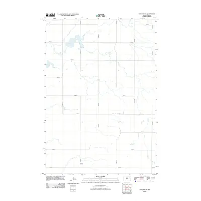
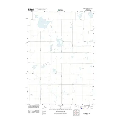
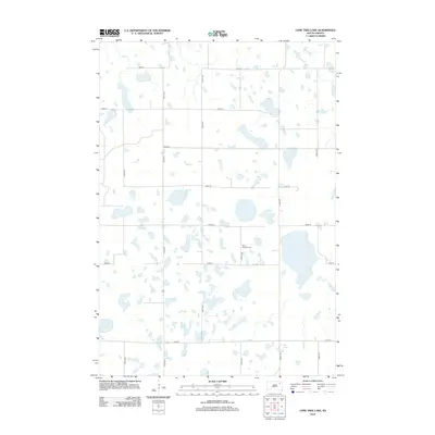
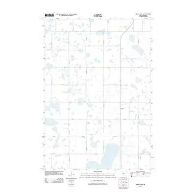
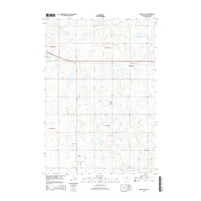
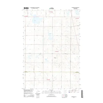
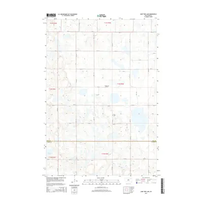
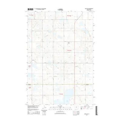
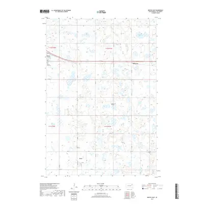
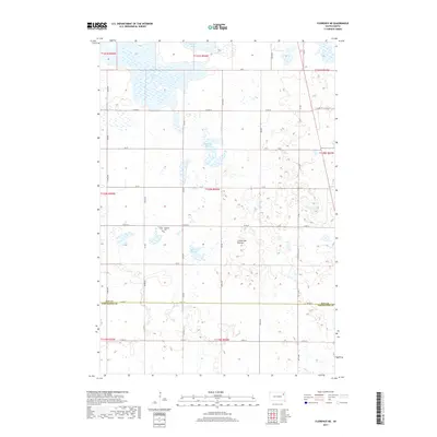
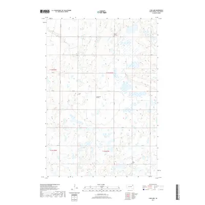
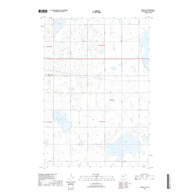
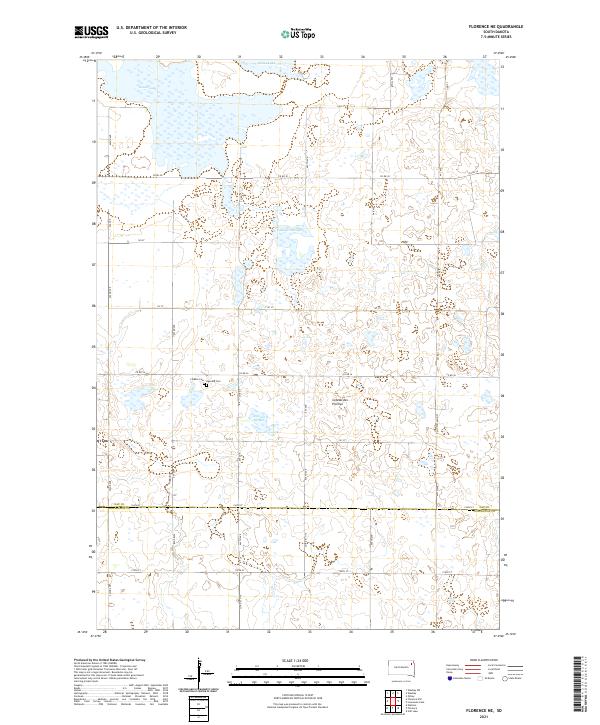
1973 Map of Florence NW
USGS Topo · Published 1976About this map
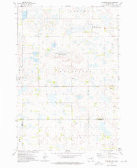
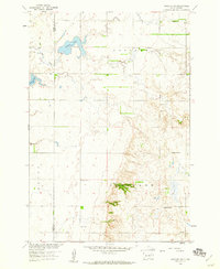
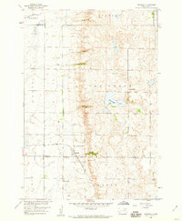
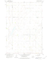
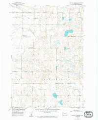
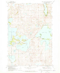
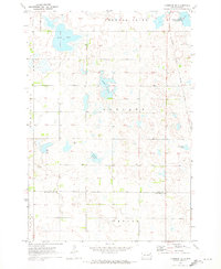
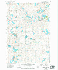
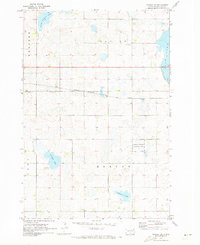
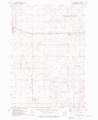
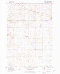
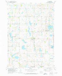
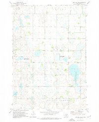
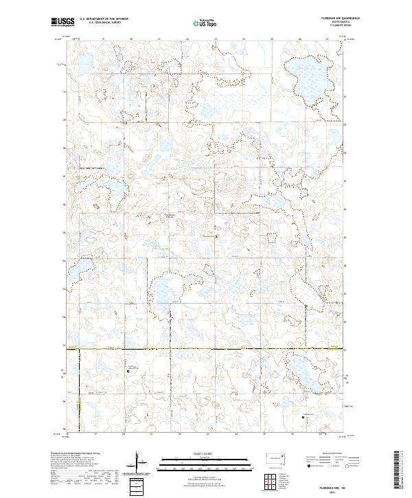
Glacial prairie potholes and wetland basins dominate this rural South Dakota landscape at the junction of Day, Clark, and Codington counties. The 1970s terrain is defined by the heavy presence of waterfowl habitat, protected by the Lohner State Public Shooting Area in the north and the Wheatland State Public Shooting Area near the center. This survey provides a precise look at the scattered pioneer legacies of Wheatland and Eden townships, where the social fabric was anchored by small rural parishes such as St Pauli Ch and Goodhue Ch. Sparse settlement is concentrated along section lines, with a local Townhall and family burial sites like Wheatland Cem serving as the primary landmarks in an area otherwise dedicated to agriculture and conservation.
Find a feature on this map
16 named features on this map. Tap any name to fly to it.
Don’t see what you’re looking for? This feature index may not catch every label — zoom into the map to look around manually.
Map Details
Editions of this 1973 Florence NW Map
This is the sole edition of this map. No revisions or reprints were ever made.
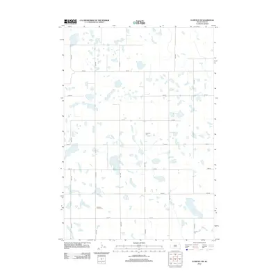
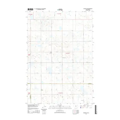
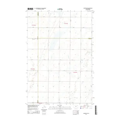
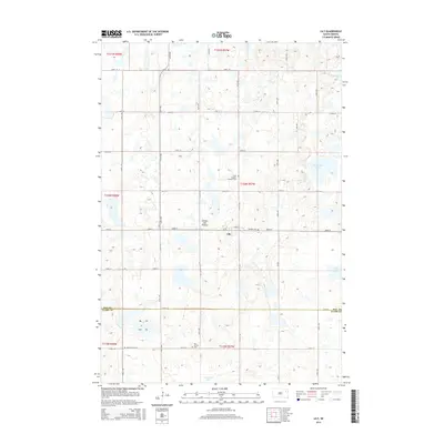
Historical Maps of Eden Township Through Time
80 maps found
1958 Andover SW
Day County, SD
1958 Crandall
Day County, SD
1958 Langford SW
Day County, SD
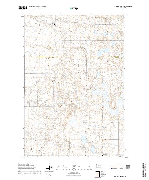
1958 Rose Hill Cemetery
Day County, SD
1970 Enemy Swim Lake West
Day County, SD
1970 Florence NE
Day County, SD
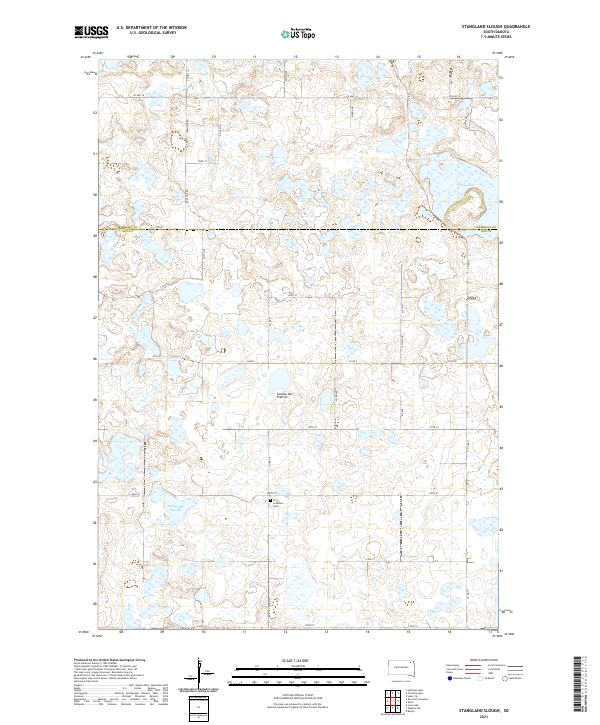
1970 Stangland Slough
Day County, SD
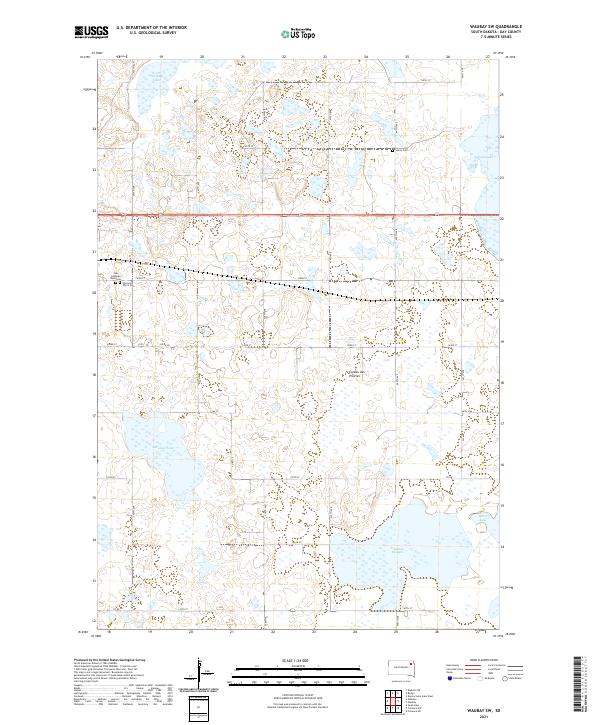
1970 Waubay SW
Day County, SD
1973 Bristol East
Day County, SD
1973 Bristol West
Day County, SD
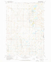
1973 Florence NW
Day County, SD
1973 Lily
Day County, SD
1973 Lone Tree Lake
Day County, SD
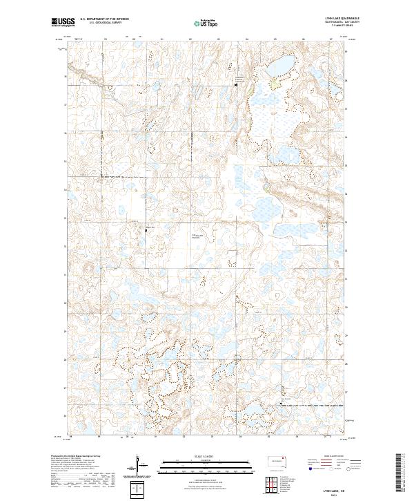
1973 Lynn Lake
Day County, SD
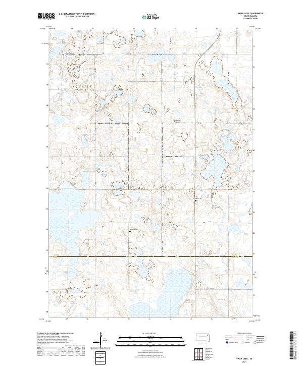
1973 Swan Lake
Day County, SD
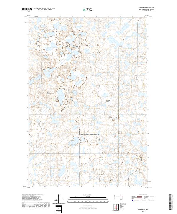
1973 Webster NE
Day County, SD
2012 Andover SW
Day County, SD
2012 Bristol East
Day County, SD
2012 Bristol West
Day County, SD
2012 Crandall
Day County, SD

2012 Enemy Swim Lake West
Day County, SD
2012 Florence NE
Day County, SD
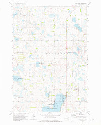
2012 Florence NW
Day County, SD
2012 Langford SW
Day County, SD
2012 Lily
Day County, SD
2012 Lone Tree Lake
Day County, SD
2012 Lynn Lake
Day County, SD
2012 Rose Hill Cemetery
Day County, SD
2012 Stangland Slough
Day County, SD
2012 Swan Lake
Day County, SD
2012 Waubay SW
Day County, SD
2012 Webster NE
Day County, SD
2015 Andover SW
Day County, SD
2015 Bristol East
Day County, SD
2015 Bristol West
Day County, SD
2015 Crandall
Day County, SD
2015 Enemy Swim Lake West
Day County, SD
2015 Florence NE
Day County, SD
2015 Florence NW
Day County, SD
2015 Langford SW
Day County, SD
2015 Lily
Day County, SD
2015 Lone Tree Lake
Day County, SD
2015 Lynn Lake
Day County, SD
2015 Rose Hill Cemetery
Day County, SD
2015 Stangland Slough
Day County, SD
2015 Swan Lake
Day County, SD
2015 Waubay SW
Day County, SD
2015 Webster NE
Day County, SD
2017 Andover SW
Day County, SD
2017 Bristol East
Day County, SD
2017 Bristol West
Day County, SD
2017 Crandall
Day County, SD
2017 Enemy Swim Lake West
Day County, SD
2017 Florence NE
Day County, SD
2017 Florence NW
Day County, SD
2017 Langford SW
Day County, SD

2017 Lily
Day County, SD
2017 Lone Tree Lake
Day County, SD
2017 Lynn Lake
Day County, SD
2017 Rose Hill Cemetery
Day County, SD
2017 Stangland Slough
Day County, SD
2017 Swan Lake
Day County, SD
2017 Waubay SW
Day County, SD
2017 Webster NE
Day County, SD
2021 Andover SW
Day County, SD
2021 Bristol East
Day County, SD
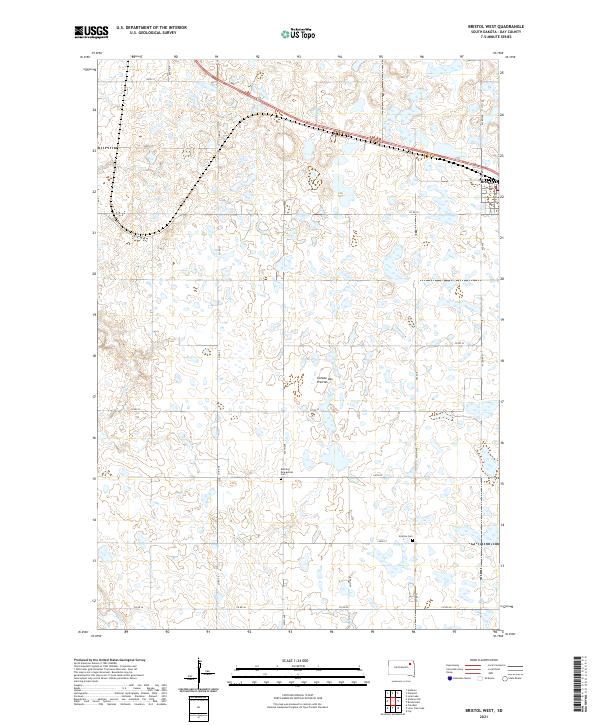
2021 Bristol West
Day County, SD
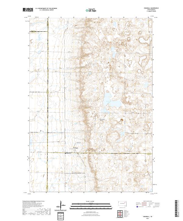
2021 Crandall
Day County, SD
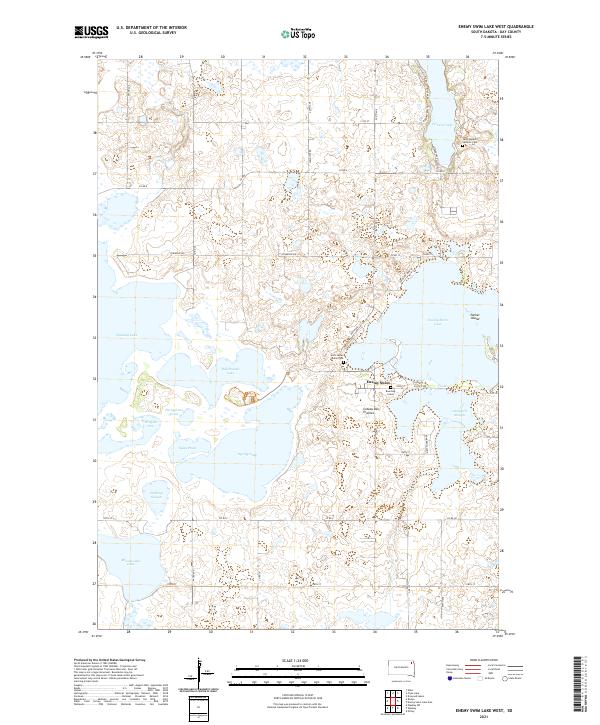
2021 Enemy Swim Lake West
Day County, SD
2021 Florence NE
Day County, SD
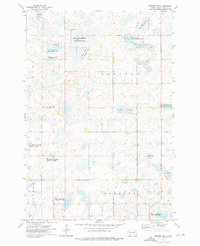
2021 Florence NW
Day County, SD
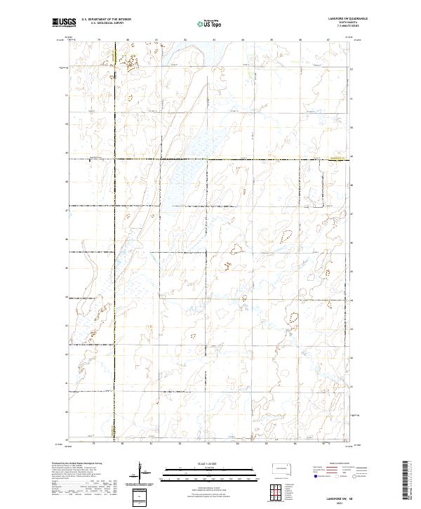
2021 Langford SW
Day County, SD
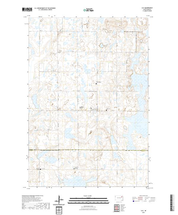
2021 Lily
Day County, SD
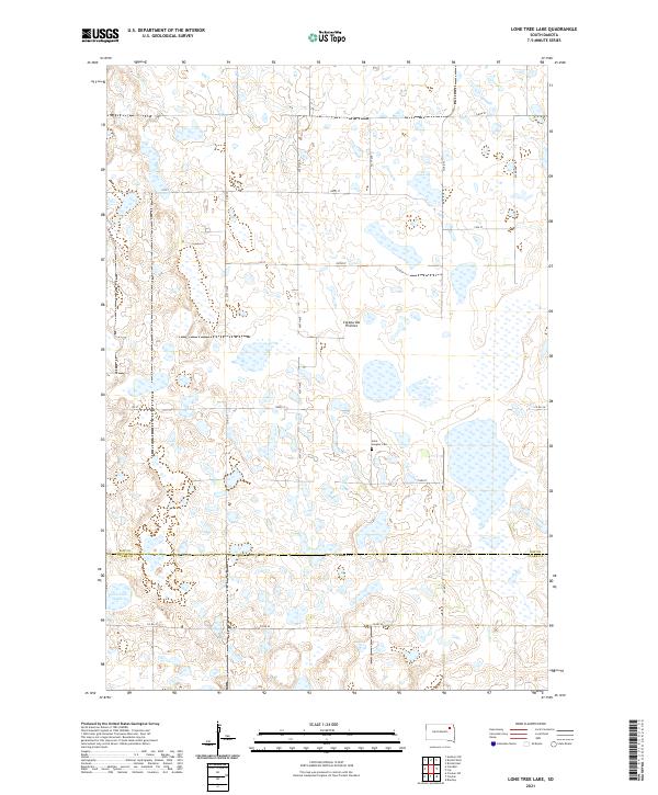
2021 Lone Tree Lake
Day County, SD
2021 Lynn Lake
Day County, SD
2021 Rose Hill Cemetery
Day County, SD
2021 Stangland Slough
Day County, SD
2021 Swan Lake
Day County, SD
2021 Waubay SW
Day County, SD
2021 Webster NE
Day County, SD