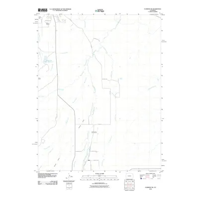
2010 Map of Florence SE
USGS Topo · Published 2010About this map
Union Highland Cemetery and the industrial remnants of the Canon Imperial Mine anchor the northern landscape of this Fremont County quadrangle. The terrain is defined by a series of south-flowing drainages, most notably Hardscrabble Creek, Mineral Creek, and Cocklebur Creek, which carve through the high ground. Water management is a central theme of this 2010 survey, visible through the Florence City Water Reservoirs and the irrigation network of the Ciperts and Chapson Ditch.
Find a feature on this map
31 named features on this map. Tap any name to fly to it.
Don’t see what you’re looking for? This feature index may not catch every label — zoom into the map to look around manually.
Map Details
Editions of this 2010 Florence SE Map
This is the sole edition of this map. No revisions or reprints were ever made.
Other maps of this area

1889 · Canon City
USGS Topo · 1:125,000

1891 · Pueblo
USGS Topo · 1:125,000

1892 · Canon City
USGS Topo · 1:125,000

1894 · Pueblo
USGS Topo · 1:125,000

1896 · Pueblo
USGS Topo · 1:125,000

1897 · Pueblo
USGS Topo · 1:125,000

1954 · Pueblo
USGS Topo · 1:250,000

1957 · Pueblo
USGS Topo · 1:250,000

1958 · Pueblo
USGS Topo · 1:250,000

1959 · Florence
USGS Topo · 1:24,000