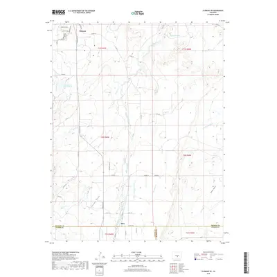
2019 Map of Florence SE
USGS Topo · Published 2019About this map
Florence and its southern agricultural hinterland are defined by the intricate water management systems essential to the Colorado landscape. South of the town center, the Union Highland Cem sits near the northern boundary, while the Florence City Water Reservoirs manage local resources. The landscape is carved by numerous watercourses, including the prominent Hardscrabble Cr and Mineral Cr, which navigate the varying elevations between Tennant Gulch and Richie Gulch.
Find a feature on this map
49 named features on this map. Tap any name to fly to it.
Don’t see what you’re looking for? This feature index may not catch every label — zoom into the map to look around manually.
Map Details
Editions of this 2019 Florence SE Map
This is the sole edition of this map. No revisions or reprints were ever made.
Other maps of this area

1889 · Canon City
USGS Topo · 1:125,000

1891 · Pueblo
USGS Topo · 1:125,000

1892 · Canon City
USGS Topo · 1:125,000

1894 · Pueblo
USGS Topo · 1:125,000

1896 · Pueblo
USGS Topo · 1:125,000

1897 · Pueblo
USGS Topo · 1:125,000

1954 · Pueblo
USGS Topo · 1:250,000

1957 · Pueblo
USGS Topo · 1:250,000

1958 · Pueblo
USGS Topo · 1:250,000

1959 · Florence
USGS Topo · 1:24,000