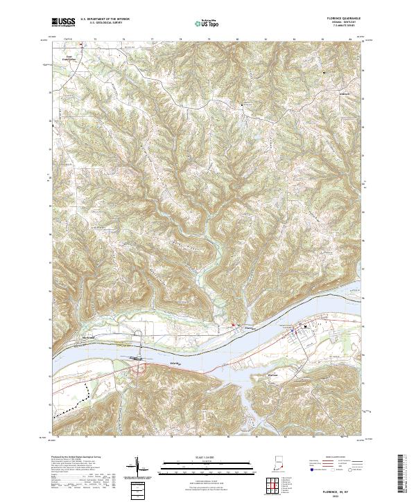
2022 Map of Florence
USGS Topo · Published 2022About this map
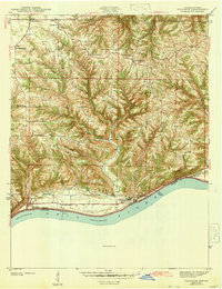
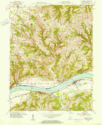
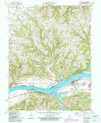
The Ohio River forms a wide, sinuous border between Indiana and Kentucky on this sheet, carving a deep valley that defines the region's geography and settlement patterns. On the Kentucky side, the town of Warsaw serves as a focal point, anchored by the Gallatin County Courthouse and its historic street grid featuring W Main St and E High St. Across the water in Switzerland County, Indiana, the small community of Markland sits near the riverbank, while the upland interior is marked by a series of prominent ridges, including McCrearys Ridge, Scott Ridge, and Bethel Ridge.
Find a feature on this map
100 named features on this map. Tap any name to fly to it.
Don’t see what you’re looking for? This feature index may not catch every label — zoom into the map to look around manually.
Map Details
Editions of this 2022 Florence Map
This is the sole edition of this map. No revisions or reprints were ever made.
Historical Maps of Florence Through Time
4 maps found