Loading...
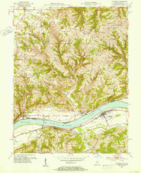
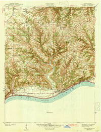
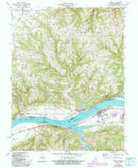
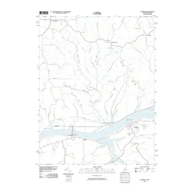
Loading map...1951 Map of Florence
USGS Topo · Published 1953About this map
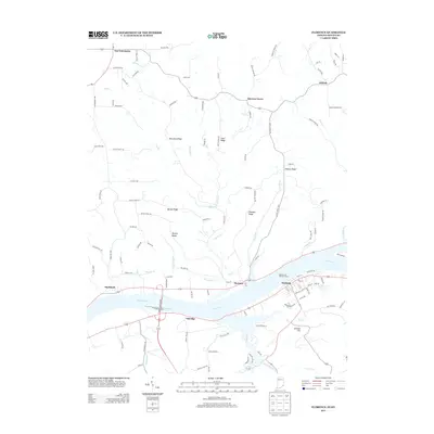
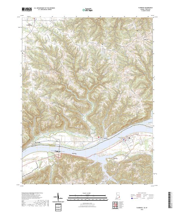
The Ohio River forms the central artery of this 1951 survey, dividing the steep ridges of Switzerland County, Indiana, and Gallatin County, Kentucky. In this era, the river remains a critical corridor for navigation and infrastructure, evidenced by Dam No 39 and the presence of a ferry crossing at the settlement of Florence. On the Kentucky side, the county seat of Warsaw sits at the river's edge, featuring its own Warsaw Airfield and a central High School.
Find a feature on this map
41 named features on this map. Tap any name to fly to it.
Don’t see what you’re looking for? This feature index may not catch every label — zoom into the map to look around manually.
Map Details
Date Portrayed1951
Date Published1953
PublisherU.S. Geological Survey
Map TypeTopographic
Scale1:24,000
Physical Dimensions22 x 26.9 inches
Editions of this 1951 Florence Map
This is the sole edition of this map. No revisions or reprints were ever made.
Historical Maps of Warsaw Through Time
8 maps found
Featured Locations
Source Details
SourceU.S. Geological Survey
CopyrightPublic Domain