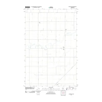
2010 Map of Florian SW
USGS Topo · Published 2010About this map
The winding course of the Middle River dominates this portion of Marshall County, carving a sinuous path through a highly organized agricultural landscape. The survey documents the rural character of the area, defined by a strict grid of roads such as 310th Ave NW and 300th St NW. Settlement patterns are anchored by traditional community institutions, including School Number 13E and several denominational burial grounds. These sites, such as Alma Lutheran Cemetery and Saint John's Cemetery, indicate the heritage of the families who settled this prairie land. In the southeastern corner, the Great Eastern rail line cuts diagonally across the township grid, providing the primary industrial link for the region's agricultural output. Other landmarks like the McCrea Cemetery and Alma Baptist Cemetery further illustrate the distribution of local rural communities at the start of the decade.
Find a feature on this map
24 named features on this map. Tap any name to fly to it.
Don’t see what you’re looking for? This feature index may not catch every label — zoom into the map to look around manually.
Map Details
Editions of this 2010 Florian SW Map
This is the sole edition of this map. No revisions or reprints were ever made.
Other maps of this area

1918 · Angus
USGS Topo · 1:62,500

1918 · Argyle
USGS Topo · 1:62,500

1918 · Warren
USGS Topo · 1:62,500

1952 · Thief River Falls
USGS Topo · 1:250,000

1954 · Stephen
USGS Topo · 1:62,500

1955 · Warren
USGS Topo · 1:62,500

1956 · Thief River Falls
USGS Topo · 1:250,000

1956 · Florian
USGS Topo · 1:62,500

1957 · Thief River Falls
USGS Topo · 1:250,000

1961 · Radium
USGS Topo · 1:24,000