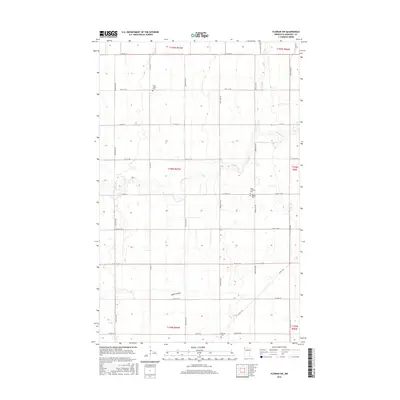
2016 Map of Florian SW
USGS Topo · Published 2016About this map
The meandering Middle River snakes across this Marshall County landscape, defining the topography of an area primarily organized by the Public Land Survey System. The township boundaries of t157n r47w, t156n r47w, and t155n r47w reveal a rural community structured around a network of county highways and straight-line section roads. The distribution of local landmarks suggests a heritage rooted in communal and religious life, with several small burial grounds serving the surrounding homesteads. Genealogists and researchers can find the sites of Saint John's Cem in the north and the McCrea Cem to the south, along with the Alma Lutheran Cem and Alma Baptist Cem, which sit in close proximity near Co Hwy 19. The southern reaches are marked by Swift Coulee, a drainage feature that breaks the otherwise orderly grid of farm roads and fields.
Find a feature on this map
27 named features on this map. Tap any name to fly to it.
Don’t see what you’re looking for? This feature index may not catch every label — zoom into the map to look around manually.
Map Details
Editions of this 2016 Florian SW Map
This is the sole edition of this map. No revisions or reprints were ever made.
Other maps of this area

1918 · Angus
USGS Topo · 1:62,500

1918 · Argyle
USGS Topo · 1:62,500

1918 · Warren
USGS Topo · 1:62,500

1952 · Thief River Falls
USGS Topo · 1:250,000

1954 · Stephen
USGS Topo · 1:62,500

1955 · Warren
USGS Topo · 1:62,500

1956 · Thief River Falls
USGS Topo · 1:250,000

1956 · Florian
USGS Topo · 1:62,500

1957 · Thief River Falls
USGS Topo · 1:250,000

1961 · Radium
USGS Topo · 1:24,000