Loading...
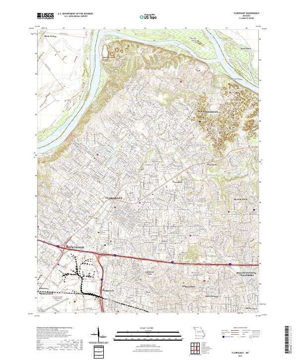
Loading map...2021 Map of Florissant
USGS Topo · Published 2021About this map
The Missouri River winds along the northern boundary of this suburban and river-valley landscape, separating the dense residential developments of north St. Louis County from the rural floodplains of St. Charles County. Significant suburban expansion is evident in the sprawling street networks of Florissant and Hazelwood, while the northern reaches maintain a distinct character defined by the Commerce Chute and the riparian environment of Pelican Island.
Find a feature on this map
390 named features on this map. Tap any name to fly to it.
Don’t see what you’re looking for? This feature index may not catch every label — zoom into the map to look around manually.
Map Details
Date Portrayed2021
Date Published2021
PublisherU.S. Geological Survey
Map TypeTopographic
Scale1:24000
Physical Dimensions24 x 29 inches
Editions of this 2021 Florissant Map
This is the sole edition of this map. No revisions or reprints were ever made.
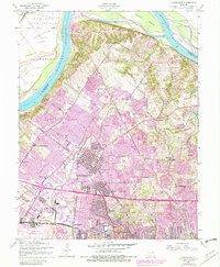
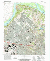
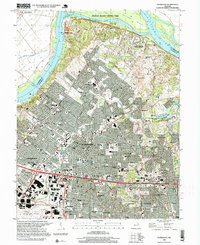
Historical Maps of Musicks Ferry Through Time
5 maps found

Featured Locations
Source Details
SourceU.S. Geological Survey
CopyrightPublic Domain