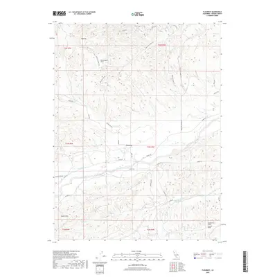
2018 Map of Flournoy
USGS Topo · Published 2018About this map
Flournoy serves as the central hub of this northern California landscape, where the foothills meet the Sacramento Valley. The terrain is defined by a series of south-flowing drainage systems, including Thomes Cr, Mill Cr, and Houghton Cr, which carve through the undulating landscape south of Table Mtn. This topography creates a distinct pattern of ranching corridors and rural access roads, such as Paskenta Rd and Corning Rd, that follow the natural contours of the land.
Find a feature on this map
36 named features on this map. Tap any name to fly to it.
Don’t see what you’re looking for? This feature index may not catch every label — zoom into the map to look around manually.
Map Details
Editions of this 2018 Flournoy Map
This is the sole edition of this map. No revisions or reprints were ever made.
Other maps of this area

1890 · Red Bluff
USGS Topo · 1:250,000

1894 · Red Bluff
USGS Topo · 1:250,000

1944 · Flournoy
USGS Topo · 1:62,500

1949 · Colyear Springs
USGS Topo · 1:62,500

1951 · West of Gerber
USGS Topo · 1:24,000

1952 · Red Bank
USGS Topo · 1:24,000

1952 · Paskenta
USGS Topo · 1:62,500

1952 · Red Bank
USGS Topo · 1:62,500

1957 · Colyear Springs
USGS Topo · 1:62,500

1957 · Ukiah
USGS Topo · 1:250,000