
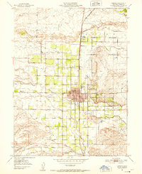
1951 Map of West of Gerber
USGS Topo · Published 1952About this map
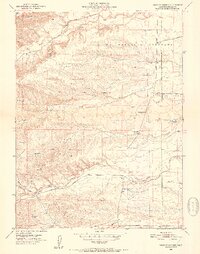
Red Bank Creek flows through the northern reaches of this Tehama County landscape, which is defined by a dense network of seasonal drainages and local roads. Mapped during the early 1950s, the area shows a clear transition from the higher terrain of La Barranca Colorada toward the more settled plains of Las Flores. This era of ranching and early rural development is captured through features like the Oat Creek Sch (Aban'd), signaling shifting populations in the foothills. Local transport is anchored by routes such as Paskenta Road and the Boggs and Champlin Road, which connect isolated reservoirs and a series of spillways. The presence of a Gaging Sta along Elder Creek reflects the vital importance of water management in this part of the Sacramento Valley, where creeks like Coyote Creek and Willow Creek carve distinct paths through the dry landscape.
Find a feature on this map
19 named features on this map. Tap any name to fly to it.
Don’t see what you’re looking for? This feature index may not catch every label — zoom into the map to look around manually.
Map Details
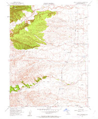
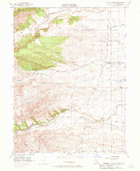
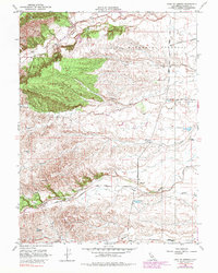
Editions of this 1951 West of Gerber Map
5 editions found
Other maps of this area

1890 · Red Bluff
USGS Topo · 1:250,000

1894 · Red Bluff
USGS Topo · 1:250,000

1904 · Vina
USGS Topo · 1:62,500

1905 · Tehama
USGS Topo · 1:62,500

1944 · Flournoy
USGS Topo · 1:62,500

1950 · Gerber
USGS Topo · 1:24,000

1951 · Gerber
USGS Topo · 1:24,000
1951 · Corning
USGS Topo · 1:24,000

1951 · Red Bluff East
USGS Topo · 1:24,000

1951 · Red Bluff West
USGS Topo · 1:24,000