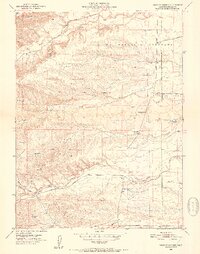
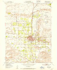
1951 Map of West of Gerber
USGS Topo · Published 1952About this map
La Barranca Colorada dominates the northern reaches of this Tehama County landscape, where the terrain transitions from the low foothills of the Coast Range toward the Sacramento Valley. The 1951 survey reveals a rural territory defined by a series of parallel drainage systems, including Red Bank Creek and Elder Creek, which flow eastward through the ranchlands. A significant marker of shifting local demographics is the Oat Creek Sch (Aban'd), reflecting the consolidation or abandonment of rural school districts by the mid-20th century.
Find a feature on this map
20 named features on this map. Tap any name to fly to it.
Don’t see what you’re looking for? This feature index may not catch every label — zoom into the map to look around manually.
Map Details
Editions of this 1951 West of Gerber Map
5 editions found
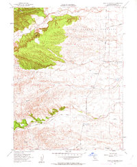
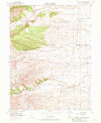
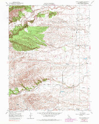
Other maps of this area

1890 · Red Bluff
USGS Topo · 1:250,000

1894 · Red Bluff
USGS Topo · 1:250,000

1904 · Vina
USGS Topo · 1:62,500

1905 · Tehama
USGS Topo · 1:62,500

1944 · Flournoy
USGS Topo · 1:62,500

1950 · Gerber
USGS Topo · 1:24,000

1951 · Gerber
USGS Topo · 1:24,000
1951 · Corning
USGS Topo · 1:24,000

1951 · Red Bluff East
USGS Topo · 1:24,000

1951 · West of Gerber
USGS Topo · 1:24,000