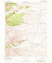
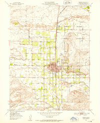
1951 Map of West of Gerber
USGS Topo · Published 1970About this map
The rolling grasslands of Tehama County are defined here by a series of prominent east-flowing drainages, most notably Red Bank Creek and Elder Creek. Published in 1970 but reflecting data back to 1951, the map captures a rural landscape dominated by long-established ranching and agricultural corridors. Early transport routes such as Red Bank Road and Paskenta Road traverse the terrain, while family names are preserved in landmarks like Champlin Road and Boggs Road.
Find a feature on this map
38 named features on this map. Tap any name to fly to it.
Don’t see what you’re looking for? This feature index may not catch every label — zoom into the map to look around manually.
Map Details
Editions of this 1951 West of Gerber Map
5 editions found
Other maps of this area

1890 · Red Bluff
USGS Topo · 1:250,000

1894 · Red Bluff
USGS Topo · 1:250,000

1904 · Vina
USGS Topo · 1:62,500

1905 · Tehama
USGS Topo · 1:62,500

1944 · Flournoy
USGS Topo · 1:62,500

1950 · Gerber
USGS Topo · 1:24,000

1951 · Gerber
USGS Topo · 1:24,000
1951 · Corning
USGS Topo · 1:24,000

1951 · Red Bluff East
USGS Topo · 1:24,000

1951 · West of Gerber
USGS Topo · 1:24,000