
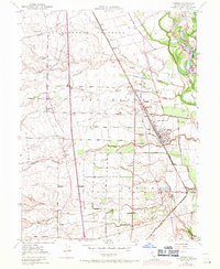
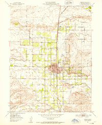
1950 Map of Gerber
USGS Topo · Published 1962About this map
Southern Pacific rail lines anchor the agricultural landscape of Tehama County at mid-century, following the western bank of the Sacramento River. This 1950 survey reveals a highly organized grid of rural avenues and lateral roads, such as Las Flores Ave and Gerber Road, which supported the citrus and orchard industry of the Las Flores land grant. The town of Gerber appears as a prominent rail hub, complete with its water tank and oil tank, while the river's influence is seen in the extensive levee systems protecting nearby Tehama and the surrounding bottomlands.
Find a feature on this map
62 named features on this map. Tap any name to fly to it.
Don’t see what you’re looking for? This feature index may not catch every label — zoom into the map to look around manually.
Map Details
Editions of this 1950 Gerber Map
3 editions found
Other maps of this area

1890 · Red Bluff
USGS Topo · 1:250,000

1894 · Red Bluff
USGS Topo · 1:250,000

1904 · Vina
USGS Topo · 1:62,500

1905 · Tehama
USGS Topo · 1:62,500

1944 · Flournoy
USGS Topo · 1:62,500
1950 · Vina
USGS Topo · 1:24,000

1951 · Gerber
USGS Topo · 1:24,000
1951 · Vina
USGS Topo · 1:24,000
1951 · Corning
USGS Topo · 1:24,000

1951 · Red Bluff East
USGS Topo · 1:24,000