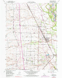
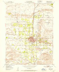
1950 Map of Gerber
USGS Topo · Published 1977About this map
The Sacramento River forms the eastern boundary of this agricultural landscape, defined by a series of irrigation canals and significant river features like Todd Island and Mooney Island. The transportation corridor of the Southern Pacific railroad anchors the local economy, running through the primary settlements of Gerber, Proberta, and Las Flores. Large Mexican land grants, including La Barranca Colorada and Saucos, still shape the rural layout of the region, where a dense network of roads like Tehama Road and Gerber Road connects the valley's farms. Water management is a central theme, evidenced by the Colusa Canal, Corning Canal, and numerous levees protecting the lowlands near Elder Creek and Thomes Creek. Genealogists can find the historic Tehama Cem located just south of the town of Tehama, providing a direct link to the area's pioneer families.
Find a feature on this map
56 named features on this map. Tap any name to fly to it.
Don’t see what you’re looking for? This feature index may not catch every label — zoom into the map to look around manually.
Map Details
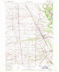
Editions of this 1950 Gerber Map
3 editions found
Other maps of this area

1890 · Red Bluff
USGS Topo · 1:250,000

1894 · Red Bluff
USGS Topo · 1:250,000

1904 · Vina
USGS Topo · 1:62,500

1905 · Tehama
USGS Topo · 1:62,500

1944 · Flournoy
USGS Topo · 1:62,500
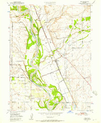
1950 · Vina
USGS Topo · 1:24,000

1950 · Gerber
USGS Topo · 1:24,000

1951 · Gerber
USGS Topo · 1:24,000
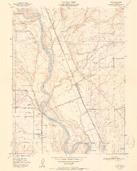
1951 · Vina
USGS Topo · 1:24,000
1951 · Corning
USGS Topo · 1:24,000