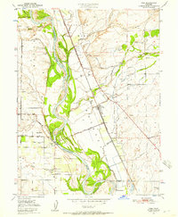
1950 Map of Vina
USGS Topo · Published 1957About this map
Vina and its surrounding orchards and riparian bottomlands are detailed in this mid-century survey, which reveals the intricate water management of the upper Sacramento Valley. The Sacramento River meanders through the landscape, flanked by complex systems like Champlin Slough and Koutz Slough, while a network of irrigation infrastructure including the Main Canal, siphons, and a fish weir supports the local agriculture. The map preserves the boundaries of historic land grants, specifically Rio De Los Molinos and Bosquejo, showing how these colonial-era divisions continued to shape property and road patterns into the 1950s. Rural infrastructure is well-documented, from the Southern Pacific rail line and Moon School to river access points like Gardiner Ferry Road and the riverside settlement at Merrills Landing.
Find a feature on this map
43 named features on this map. Tap any name to fly to it.
Don’t see what you’re looking for? This feature index may not catch every label — zoom into the map to look around manually.
Map Details
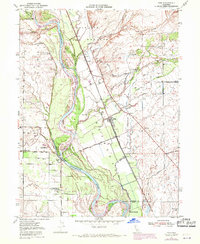
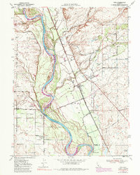
Editions of this 1950 Vina Map
3 editions found
Other maps of this area

1886 · Lassen Peak
USGS Topo · 1:250,000

1890 · Red Bluff
USGS Topo · 1:250,000

1891 · Chico
USGS Topo · 1:125,000

1892 · Lassen Peak
USGS Topo · 1:250,000

1893 · Chico
USGS Topo · 1:125,000

1894 · Lassen Peak
USGS Topo · 1:250,000

1894 · Red Bluff
USGS Topo · 1:250,000

1895 · Chico
USGS Topo · 1:125,000

1904 · Vina
USGS Topo · 1:62,500

1905 · Tehama
USGS Topo · 1:62,500