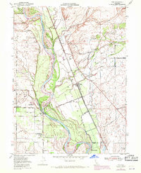
1950 Map of Vina
USGS Topo · Published 1970About this map
The Sacramento River carves a complex course through the northern Sacramento Valley on this map, which showcases the historic land grants of Rio De Los Molinos and Bosquejo. The settlement of Vina serves as a local hub, situated where the Southern Pacific tracks run parallel to the irrigation networks of the North Main Canal and South Main Canal. The landscape is defined by the convergence of several major drainages, including Deer Creek, Thomes Creek, and China Slough, which feed into the main river channel.
Find a feature on this map
38 named features on this map. Tap any name to fly to it.
Don’t see what you’re looking for? This feature index may not catch every label — zoom into the map to look around manually.
Map Details
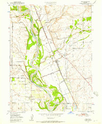
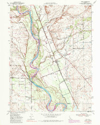
Editions of this 1950 Vina Map
3 editions found
Other maps of this area

1886 · Lassen Peak
USGS Topo · 1:250,000

1890 · Red Bluff
USGS Topo · 1:250,000

1891 · Chico
USGS Topo · 1:125,000

1892 · Lassen Peak
USGS Topo · 1:250,000

1893 · Chico
USGS Topo · 1:125,000

1894 · Lassen Peak
USGS Topo · 1:250,000

1894 · Red Bluff
USGS Topo · 1:250,000

1895 · Chico
USGS Topo · 1:125,000

1904 · Vina
USGS Topo · 1:62,500

1905 · Tehama
USGS Topo · 1:62,500