Loading...
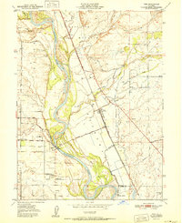
Loading map...1950 Map of Vina
USGS Topo · Published 1980About this map
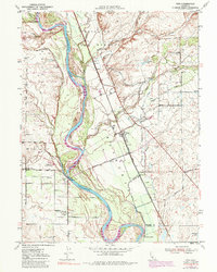
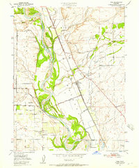
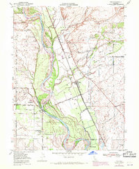
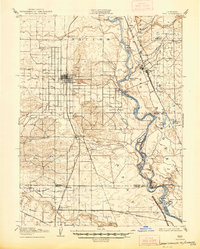
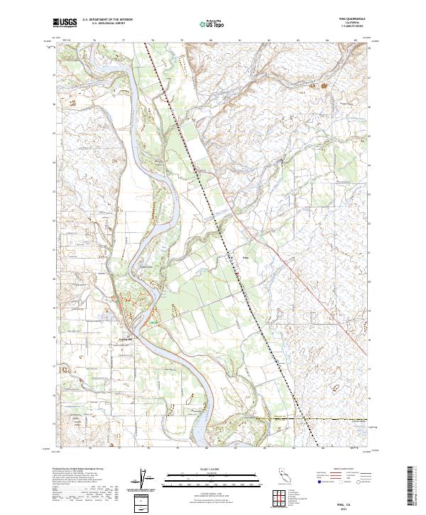
The Sacramento River carves a complex course through this Sacramento Valley landscape, depositing features like Copeland Bar and feeding a network of irrigation infrastructure including the Main Canal, North Canal, and South Canal. The settlement of Vina sits east of the river along the Southern Pacific railroad line, serving as a hub for the surrounding agricultural tracts. The area is defined by massive land grants including Los Molinos, Bosquejo, and Rio de Los Molinos, which dictate the local geography.
Find a feature on this map
39 named features on this map. Tap any name to fly to it.
Don’t see what you’re looking for? This feature index may not catch every label — zoom into the map to look around manually.
Map Details
Date Portrayed1950
Date Published1980
PublisherU.S. Geological Survey
Map TypeTopographic
Scale1:24,000
Physical Dimensions21.5 x 27 inches
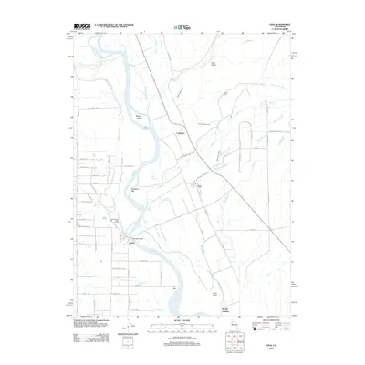
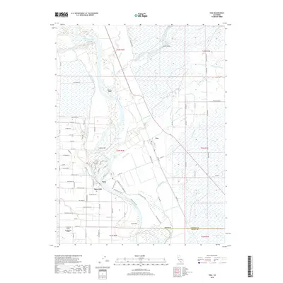
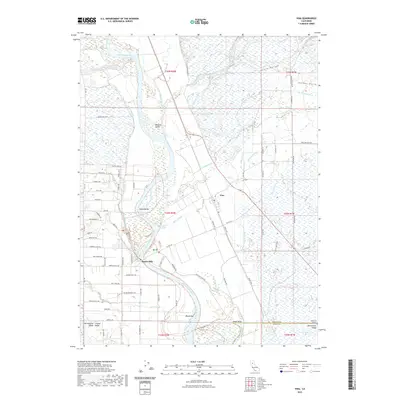
Editions of this 1950 Vina Map
3 editions found
Historical Maps of Los Molinos Through Time
8 maps found

Featured Locations
Source Details
SourceU.S. Geological Survey
CopyrightPublic Domain