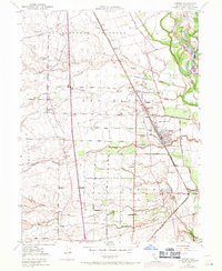
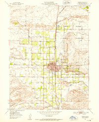
1950 Map of Gerber
USGS Topo · Published 1971About this map
The Southern Pacific rail line anchors the agricultural landscape of Tehama County on this survey, updated to reflect the growth of Gerber and Proberta. This region is defined by the shifting course of the Sacramento River on the eastern edge, where landmarks like Todd Island and Mooney Island are delineated near Sacramento Bar. The interior is a grid of early roads and land grant boundaries, such as Las Flores and Saucos, which dictated the settlement patterns of the era.
Find a feature on this map
49 named features on this map. Tap any name to fly to it.
Don’t see what you’re looking for? This feature index may not catch every label — zoom into the map to look around manually.
Map Details
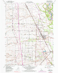
Editions of this 1950 Gerber Map
3 editions found
Other maps of this area

1890 · Red Bluff
USGS Topo · 1:250,000

1894 · Red Bluff
USGS Topo · 1:250,000

1904 · Vina
USGS Topo · 1:62,500

1905 · Tehama
USGS Topo · 1:62,500

1944 · Flournoy
USGS Topo · 1:62,500
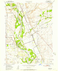
1950 · Vina
USGS Topo · 1:24,000

1950 · Gerber
USGS Topo · 1:24,000

1951 · Gerber
USGS Topo · 1:24,000
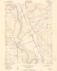
1951 · Vina
USGS Topo · 1:24,000
1951 · Corning
USGS Topo · 1:24,000