Loading...
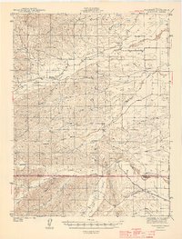
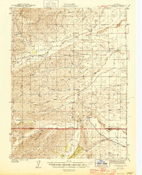
Loading map...1944 Map of Flournoy
USGS Topo · Published 1944About this map
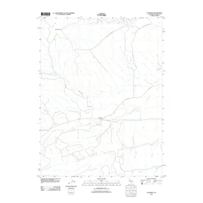
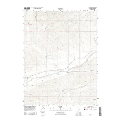
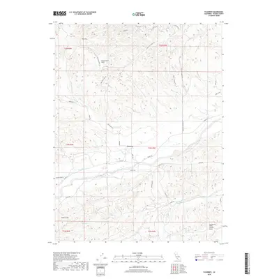
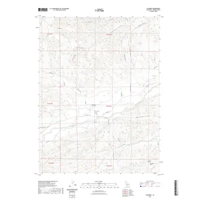
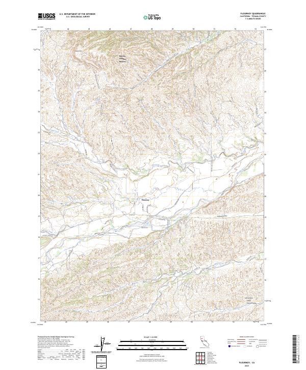
Thomes Creek and the southern Stony Creek drainage define this landscape along the border of Tehama and Glenn counties. The 1942 survey captures a rural ranching and agricultural economy just before mid-century modernizations, centered on small settlements like Flournoy and Henleyville. The western edge is dominated by significant topographical markers including Table Mtn and Government Ridge, while the eastern flats show the early engineering of the Highline Canal and the Diversion Dam on Stony Creek.
Find a feature on this map
33 named features on this map. Tap any name to fly to it.
Don’t see what you’re looking for? This feature index may not catch every label — zoom into the map to look around manually.
Map Details
Date Portrayed1944
Date Published1944
PublisherU.S. Geological Survey
Map TypeTopographic
Scale1:62,500
Physical Dimensions15.7 x 20.67 inches
Editions of this 1944 Flournoy Map
2 editions found
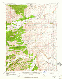
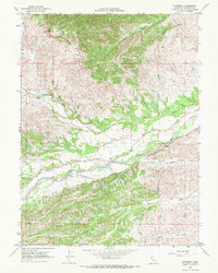
Historical Maps of Rancho Tehama Reserve Through Time
8 maps found
Featured Locations
Source Details
SourceU.S. Geological Survey
CopyrightPublic Domain