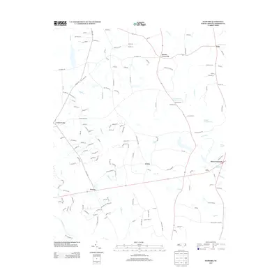
2013 Map of Flowers
USGS Topo · Published 2013About this map
Hares Crossroads and Hocutts Crossroads serve as central points in this rural Johnston County landscape, which is defined by an intricate network of waterways and early 21st-century residential expansion. The area is heavily influenced by the presence of Buffalo Cr and the Little River, which feed into several significant water bodies including the Atkinson Mill Pond and the industrial Continental Can Company Lake.
Find a feature on this map
131 named features on this map. Tap any name to fly to it.
Don’t see what you’re looking for? This feature index may not catch every label — zoom into the map to look around manually.
Map Details
Editions of this 2013 Flowers Map
This is the sole edition of this map. No revisions or reprints were ever made.
Other maps of this area

1902 · Kenly
USGS Topo · 1:62,500

1902 · Spring Hope
USGS Topo · 1:62,500

1903 · Kenly
USGS Topo · 1:62,500

1904 · Springhope
USGS Topo · 1:62,500

1953 · Raleigh
USGS Topo · 1:250,000

1954 · Raleigh
USGS Topo · 1:250,000

1964 · Flowers
USGS Topo · 1:24,000

1964 · Selma
USGS Topo · 1:62,500

1964 · Clayton
USGS Topo · 1:24,000

1964 · Powhatan
USGS Topo · 1:24,000