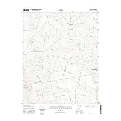
2016 Map of Flowers
USGS Topo · Published 2016About this map
Hares Crossroads and Hocutts Crossroads anchor this Johnston County landscape, where the rural character of the North Carolina coastal plain meets modern residential expansion. The area is defined by a dense network of family-named landmarks and cemeteries, such as the Whitley Cem, Hocutt Cem, and Murphy Cem, which provide essential grounding for genealogical research in this part of the state.
Find a feature on this map
125 named features on this map. Tap any name to fly to it.
Don’t see what you’re looking for? This feature index may not catch every label — zoom into the map to look around manually.
Map Details
Editions of this 2016 Flowers Map
This is the sole edition of this map. No revisions or reprints were ever made.
Other maps of this area

1902 · Kenly
USGS Topo · 1:62,500

1902 · Spring Hope
USGS Topo · 1:62,500

1903 · Kenly
USGS Topo · 1:62,500

1904 · Springhope
USGS Topo · 1:62,500

1953 · Raleigh
USGS Topo · 1:250,000

1954 · Raleigh
USGS Topo · 1:250,000

1964 · Flowers
USGS Topo · 1:24,000

1964 · Selma
USGS Topo · 1:62,500

1964 · Clayton
USGS Topo · 1:24,000

1964 · Powhatan
USGS Topo · 1:24,000