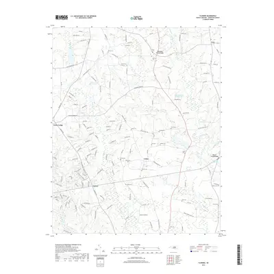
2019 Map of Flowers
USGS Topo · Published 2019About this map
The Little River and Buffalo Cr networks define the topography of this Johnston County landscape, which remains largely characterized by its rural crossroads and family legacies. Settlements like Archer Lodge and Hares Crossroads anchor the region, while a high concentration of small burial grounds, such as Woodard Cem, Jeffrey Cem, and O'Neal Cem, provides a detailed record of local genealogy and land ownership. These small family plots are interspersed between winding roads like Covered Bridge Rd and Antioch Church Rd.
Find a feature on this map
130 named features on this map. Tap any name to fly to it.
Don’t see what you’re looking for? This feature index may not catch every label — zoom into the map to look around manually.
Map Details
Editions of this 2019 Flowers Map
This is the sole edition of this map. No revisions or reprints were ever made.
Other maps of this area

1902 · Kenly
USGS Topo · 1:62,500

1902 · Spring Hope
USGS Topo · 1:62,500

1903 · Kenly
USGS Topo · 1:62,500

1904 · Springhope
USGS Topo · 1:62,500

1953 · Raleigh
USGS Topo · 1:250,000

1954 · Raleigh
USGS Topo · 1:250,000

1964 · Flowers
USGS Topo · 1:24,000

1964 · Selma
USGS Topo · 1:62,500

1964 · Clayton
USGS Topo · 1:24,000

1964 · Powhatan
USGS Topo · 1:24,000