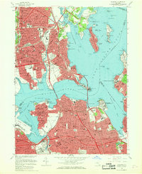
1966 Map of Flushing
USGS Topo · Published 1968About this map
Flushing and its neighboring Queens and Bronx communities appear here in a period of intense post-war density and infrastructure expansion. The landscape is defined by the massive web of arterial roads, including the Long Island Expressway, Cross Bronx Expressway, and Whitestone Expressway, which serve as the primary conduits between the city and its growing suburban fringes. In the north, Pelham Bay Park and the islands of Eastchester Bay offer a contrast to the industrial and residential grid, while significant institutional footprints like the Bronx State Hospital and Einstein College occupy substantial tracts in the Morris Park and Westchester neighborhoods.
Find a feature on this map
153 named features on this map. Tap any name to fly to it.
Don’t see what you’re looking for? This feature index may not catch every label — zoom into the map to look around manually.
Map Details
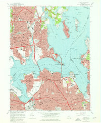
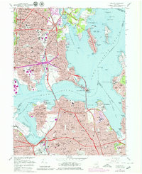
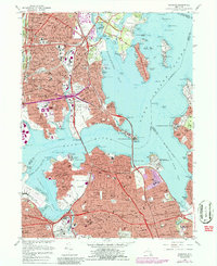
Editions of this 1966 Flushing Map
4 editions found
Other maps of this area

1889 · Brooklyn
USGS Topo · 1:62,500

1891 · Brooklyn
USGS Topo · 1:62,500

1891 · Harlem
USGS Topo · 1:62,500

1897 · Harlem
USGS Topo · 1:62,500

1897 · Brooklyn
USGS Topo · 1:62,500

1897 · Hempstead
USGS Topo · 1:62,500

1897 · Oyster Bay
USGS Topo · 1:62,500

1898 · Harlem
USGS Topo · 1:62,500

1898 · Hempstead
USGS Topo · 1:62,500

1898 · Brooklyn
USGS Topo · 1:62,500
Featured Places
- New York, NY
- North Hempstead, NY
- New Rochelle, NY
- Great Neck, North Hempstead
- Kings Point, North Hempstead