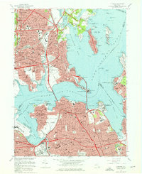
1966 Map of Flushing
USGS Topo · Published 1976About this map
Dense urban networks and maritime infrastructure define this mid-1960s landscape, where the Bronx and Queens border meets the Long Island Sound. The map reveals a borough in transition, captured just as the modern highway system was solidifying. Major arterial routes like the Cross Bronx Expressway and Long Island Expressway cut through established neighborhoods such as Whitestone and Flushing, while the presence of Shea Stadium and La Guardia Airport signifies the area's role as a regional hub.
Find a feature on this map
159 named features on this map. Tap any name to fly to it.
Don’t see what you’re looking for? This feature index may not catch every label — zoom into the map to look around manually.
Map Details
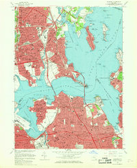
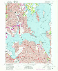
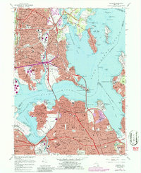
Editions of this 1966 Flushing Map
4 editions found
Other maps of this area

1889 · Brooklyn
USGS Topo · 1:62,500

1891 · Brooklyn
USGS Topo · 1:62,500

1891 · Harlem
USGS Topo · 1:62,500

1897 · Harlem
USGS Topo · 1:62,500

1897 · Brooklyn
USGS Topo · 1:62,500

1897 · Hempstead
USGS Topo · 1:62,500

1897 · Oyster Bay
USGS Topo · 1:62,500

1898 · Harlem
USGS Topo · 1:62,500

1898 · Hempstead
USGS Topo · 1:62,500

1898 · Brooklyn
USGS Topo · 1:62,500
Featured Places
- New York, NY
- North Hempstead, NY
- New Rochelle, NY
- Great Neck, North Hempstead
- Kings Point, North Hempstead