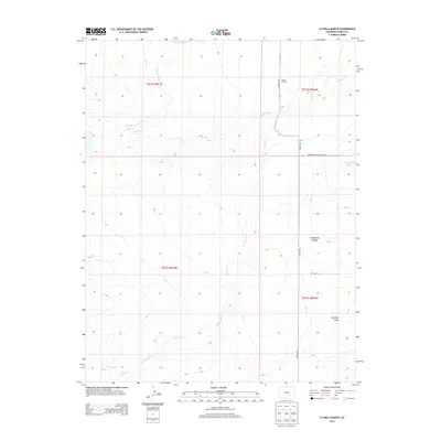
2013 Map of Flying A Ranch
USGS Topo · Published 2013About this map
Flying A Ranch serves as the focal point for this section of Pueblo County, where the high plains are carved by a network of seasonal drainages. The landscape is defined by the three branches of the Chicosa—N Chicosa Cr, Chicosa Cr, and S Chicosa Cr—which traverse the arid terrain towards the southeast. The map reveals a specialized infrastructure for ranching and water management, including the Nepesta Farmers Ditch and the Dolson Reservoir in the north. Topographical features like Hungerford Hollow and Hardesty Draw provide natural landmarks in this rural expanse, while the presence of Hungerford Lake and the Huerfano Meter Station Rd suggests a mix of traditional cattle ranching and modern utility access in the early 21st century.
Find a feature on this map
16 named features on this map. Tap any name to fly to it.
Don’t see what you’re looking for? This feature index may not catch every label — zoom into the map to look around manually.
Map Details
Editions of this 2013 Flying A Ranch Map
This is the sole edition of this map. No revisions or reprints were ever made.
Other maps of this area

1891 · Nepesta
USGS Topo · 1:125,000

1891 · Apishapa
USGS Topo · 1:125,000

1893 · Nepesta
USGS Topo · 1:125,000

1893 · Apishapa
USGS Topo · 1:125,000

1897 · Apishapa
USGS Topo · 1:125,000

1904 · Nepesta
USGS Topo · 1:125,000

1954 · Trinidad
USGS Topo · 1:250,000

1954 · Pueblo
USGS Topo · 1:250,000

1955 · Trinidad
USGS Topo · 1:250,000

1957 · Pueblo
USGS Topo · 1:250,000