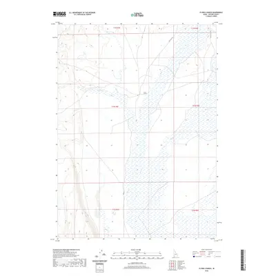
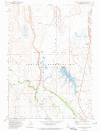
2020 Map of Flying H Ranch
USGS Topo · Published 2020About this map
Flying H Ranch sits at the heart of this high-desert Owyhee County landscape, where the drainage systems of Blue Cr and its tributaries dictate the movement of both water and travelers. The terrain is defined by a series of intermittent streams and draws, including Harris Cr, Shoofly Cr, and Payne Cr, which carve through the plateau. Sparse infrastructure connects this ranching country to the outside world, primarily via the unpaved corridors of Point Lock Rd and Battle Creek Rd. This survey documents the persistent agricultural footprint in a region where survival is closely tied to the seasonal flow of desert creeks and the management of open range lands.
Find a feature on this map
13 named features on this map. Tap any name to fly to it.
Don’t see what you’re looking for? This feature index may not catch every label — zoom into the map to look around manually.
Map Details
Editions of this 2020 Flying H Ranch Map
This is the sole edition of this map. No revisions or reprints were ever made.
Other maps of this area

1955 · Jordan Valley
USGS Topo · 1:250,000

1957 · Jordan Valley
USGS Topo · 1:250,000

1958 · Jordan Valley
USGS Topo · 1:250,000

1971 · Juniper Basin SE
USGS Topo · 1:24,000
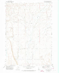
1971 · Flying H Ranch
USGS Topo · 1:24,000
1971 · Three Forks
USGS Topo · 1:24,000
1971 · Riddle
USGS Topo · 1:24,000
1971 · Mountain View Lake
USGS Topo · 1:24,000

1971 · Ross Lake
USGS Topo · 1:24,000

1972 · Little Blue Table
USGS Topo · 1:24,000