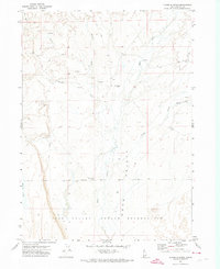
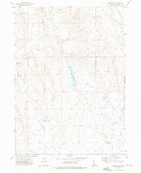
1971 Map of Flying H Ranch
USGS Topo · Published 1974About this map
The northern edge of the Duck Valley Indian Reservation meets a landscape defined by ranching and seasonal waterways in this 1971 survey of Owyhee County. The eponymous Flying H Ranch sits central to a network of drainage systems including Shoofly Creek, Blue Creek, and Payne Creek, which carve through the high desert terrain. Local infrastructure is minimal, marked by the Bacon Rind Gate and a series of Jeep Trails that connect remote outposts. Evidence of earlier habitation or abandoned structures is noted by several Corrals and a set of Ruins near the eastern margin. The map captures the isolated character of the Idaho-Nevada borderlands before modern development, focusing on the essential water sources and livestock boundaries like Rough Lake that sustained the region's cattle-based economy.
Find a feature on this map
14 named features on this map. Tap any name to fly to it.
Don’t see what you’re looking for? This feature index may not catch every label — zoom into the map to look around manually.
Map Details
Editions of this 1971 Flying H Ranch Map
This is the sole edition of this map. No revisions or reprints were ever made.
Other maps of this area

1955 · Jordan Valley
USGS Topo · 1:250,000

1957 · Jordan Valley
USGS Topo · 1:250,000

1958 · Jordan Valley
USGS Topo · 1:250,000

1971 · Juniper Basin SE
USGS Topo · 1:24,000
1971 · Three Forks
USGS Topo · 1:24,000
1971 · Riddle
USGS Topo · 1:24,000
1971 · Mountain View Lake
USGS Topo · 1:24,000

1971 · Ross Lake
USGS Topo · 1:24,000

1972 · Little Blue Table
USGS Topo · 1:24,000
1972 · Nichol Flat
USGS Topo · 1:24,000