2022 Map of Foard City
USGS Topo · Published 2022About this map
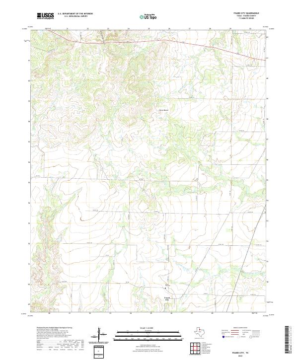
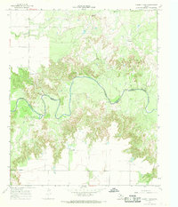
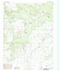
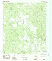
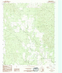
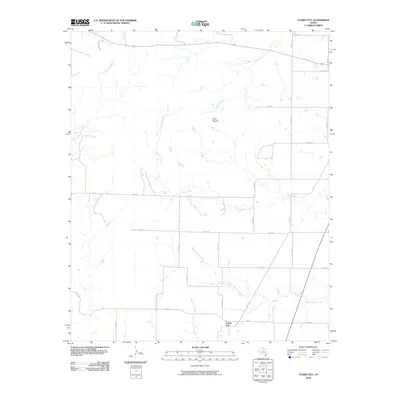
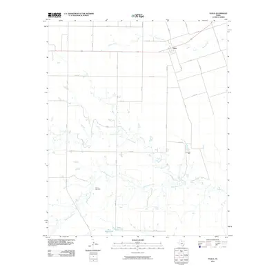
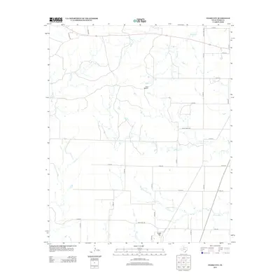
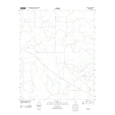
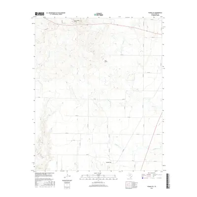
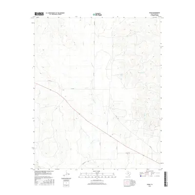
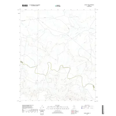
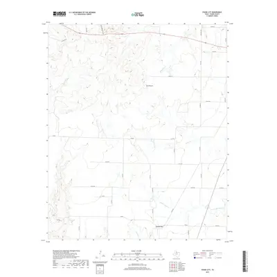
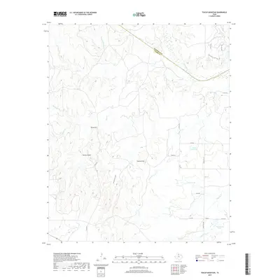
Foard City serves as the central point of interest in this 2022 survey of north-central Texas. The settlement, situated near the intersection of FM 263 and Co Rd 343, is accompanied by the nearby Foard City Cem, providing a focal point for genealogical research in this part of Foard County. The landscape is defined by its intermittent drainage systems, notably Beaver Cr and its tributary Middle Beaver Cr, which carve through the terrain south of Dixie Mound. To the north, the topography becomes more complex around Sloans Springs Canyon, where the land rises toward 70. This map illustrates a ranching landscape organized by a grid of county roads, including R B Ranch Rd and Teacup Rd, which connect remote homesteads to the established hubs of the regional cattle and agricultural economy.
Find a feature on this map
37 named features on this map. Tap any name to fly to it.
Don’t see what you’re looking for? This feature index may not catch every label — zoom into the map to look around manually.
Map Details
Editions of this 2022 Foard City Map
This is the sole edition of this map. No revisions or reprints were ever made.
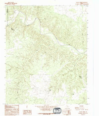
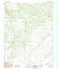
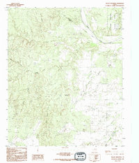
Historical Maps of Foard City Through Time
67 maps found
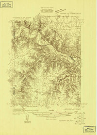
1927 Quanah 3-b
Foard County, TX
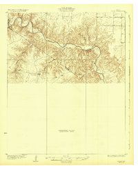
1932 Vivian
Foard County, TX

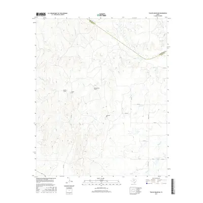
1960 Teacup Mountain
Foard County, TX
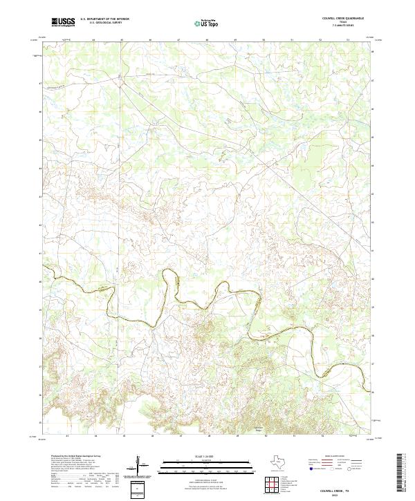
1966 Colwell Creek
Foard County, TX
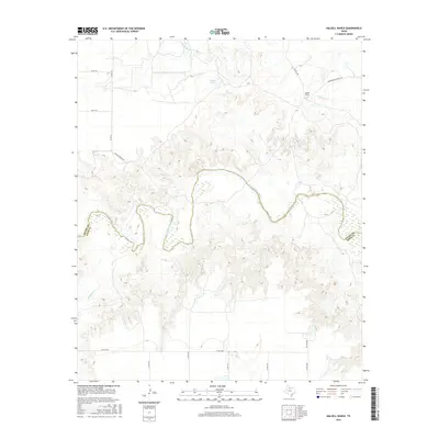
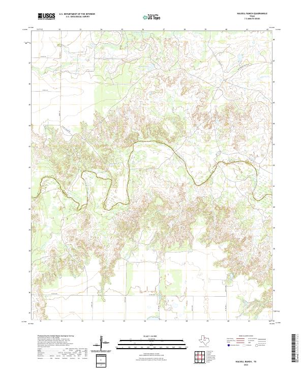
1966 Halsell Ranch
Foard County, TX
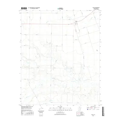
1966 Thalia
Foard County, TX
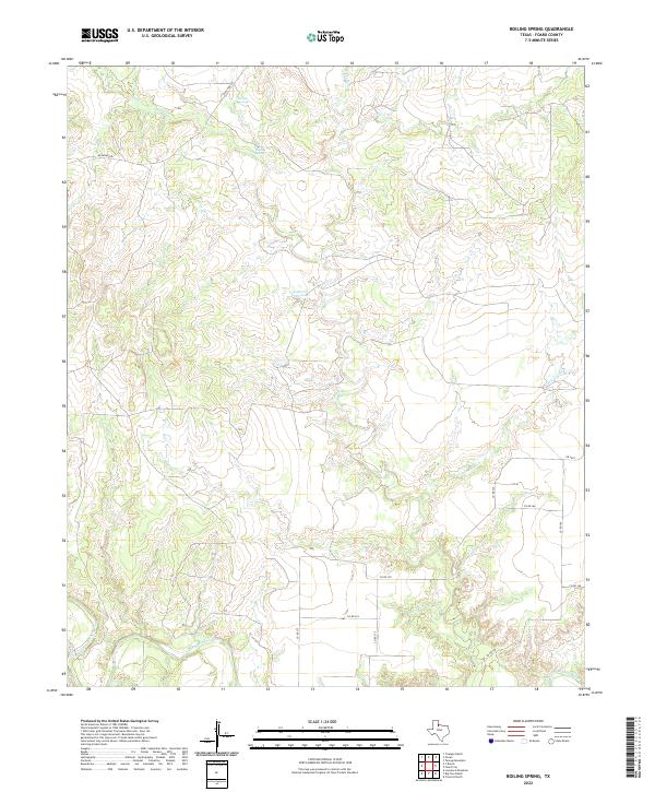
1968 Boiling Spring
Foard County, TX
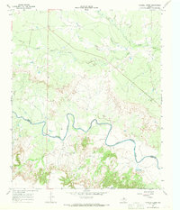
1968 Foard City
Foard County, TX
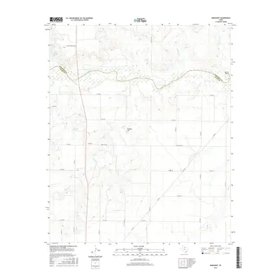
1983 Margaret
Foard County, TX
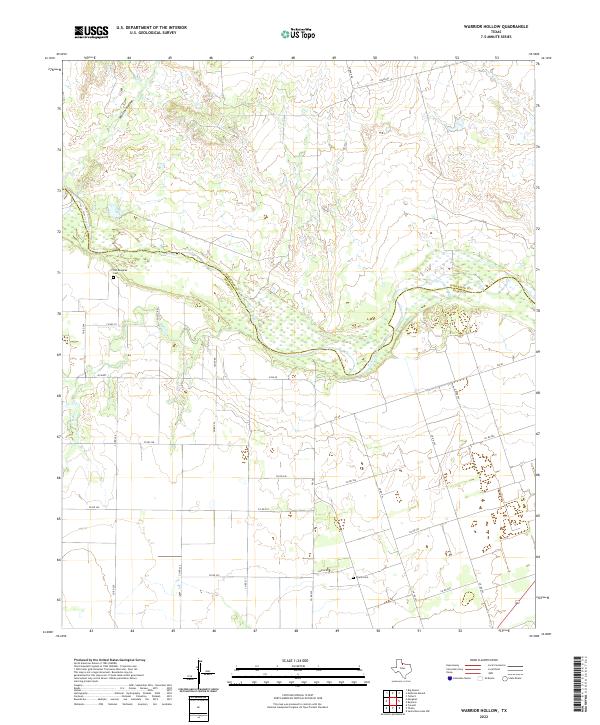
1983 Warrior Hollow
Foard County, TX
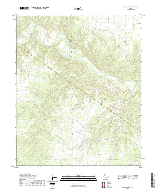
1984 Cactus Creek
Foard County, TX
1984 Teacup Mountain
Foard County, TX
1984 Vivian
Foard County, TX
1990 Cactus Creek
Foard County, TX
1990 Margaret
Foard County, TX
1990 Teacup Mountain
Foard County, TX
1990 Vivian
Foard County, TX
2010 Boiling Spring
Foard County, TX
2010 Cactus Creek
Foard County, TX
2010 Colwell Creek
Foard County, TX
2010 Foard City
Foard County, TX
2010 Halsell Ranch
Foard County, TX
2010 Margaret
Foard County, TX
2010 Teacup Mountain
Foard County, TX
2010 Thalia
Foard County, TX
2010 Vivian
Foard County, TX
2010 Warrior Hollow
Foard County, TX
2012 Cactus Creek
Foard County, TX
2012 Foard City
Foard County, TX
2012 Margaret
Foard County, TX
2012 Teacup Mountain
Foard County, TX
2012 Thalia
Foard County, TX
2012 Vivian
Foard County, TX
2012 Warrior Hollow
Foard County, TX
2013 Boiling Spring
Foard County, TX
2013 Colwell Creek
Foard County, TX
2013 Halsell Ranch
Foard County, TX

2016 Boiling Spring
Foard County, TX
2016 Cactus Creek
Foard County, TX
2016 Colwell Creek
Foard County, TX
2016 Foard City
Foard County, TX
2016 Halsell Ranch
Foard County, TX
2016 Margaret
Foard County, TX
2016 Teacup Mountain
Foard County, TX
2016 Thalia
Foard County, TX
2016 Vivian
Foard County, TX
2016 Warrior Hollow
Foard County, TX
2019 Boiling Spring
Foard County, TX
2019 Cactus Creek
Foard County, TX
2019 Colwell Creek
Foard County, TX
2019 Foard City
Foard County, TX
2019 Halsell Ranch
Foard County, TX
2019 Margaret
Foard County, TX
2019 Teacup Mountain
Foard County, TX
2019 Thalia
Foard County, TX
2019 Vivian
Foard County, TX
2019 Warrior Hollow
Foard County, TX
2022 Boiling Spring
Foard County, TX
2022 Cactus Creek
Foard County, TX
2022 Colwell Creek
Foard County, TX
2022 Foard City
Foard County, TX
2022 Halsell Ranch
Foard County, TX
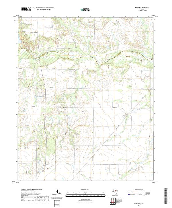
2022 Margaret
Foard County, TX
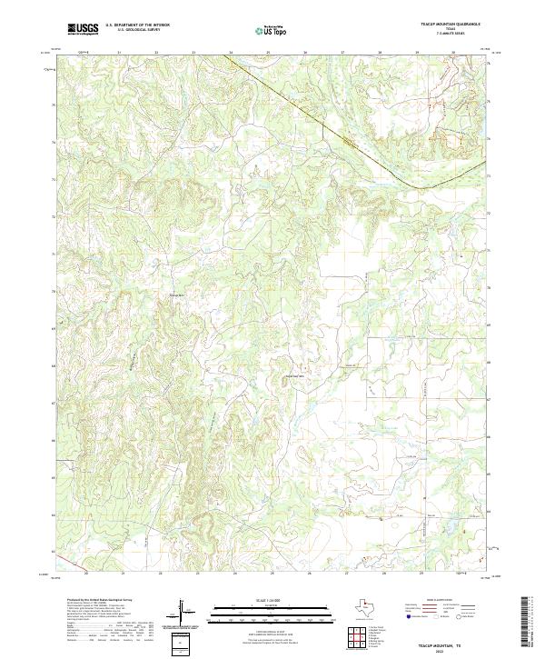
2022 Teacup Mountain
Foard County, TX
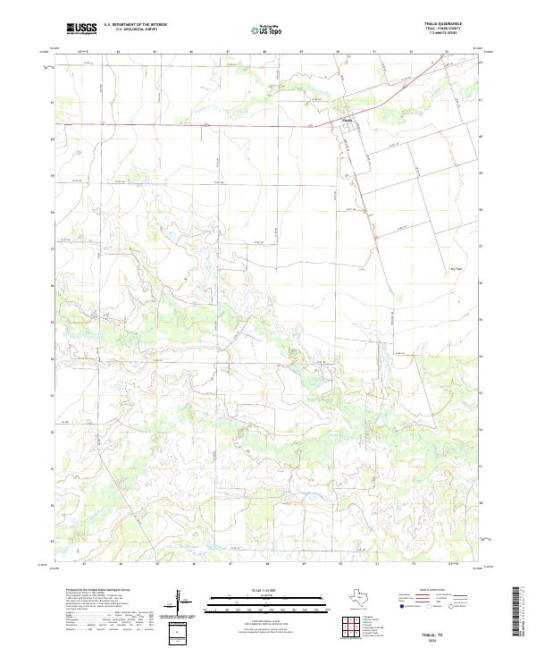
2022 Thalia
Foard County, TX
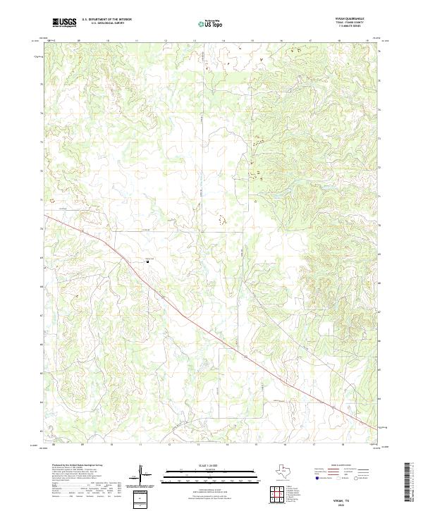
2022 Vivian
Foard County, TX
2022 Warrior Hollow
Foard County, TX