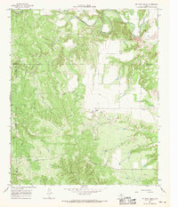
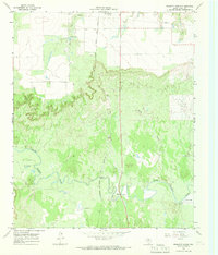
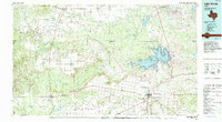
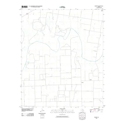
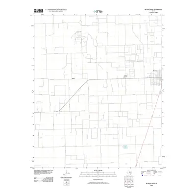
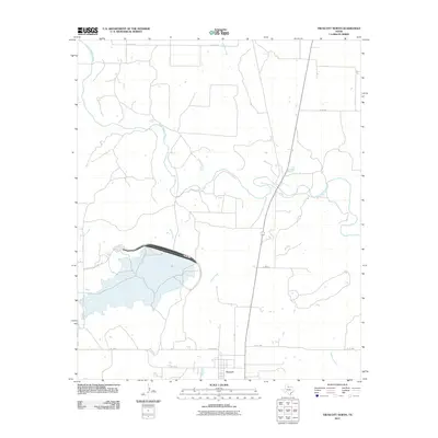
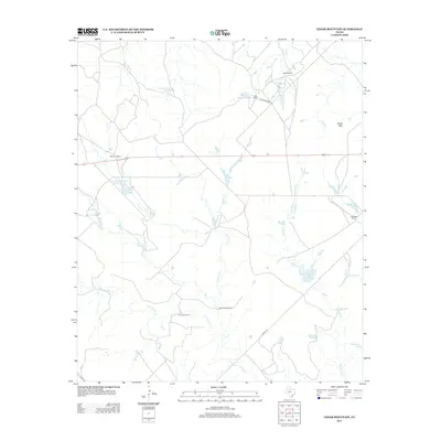
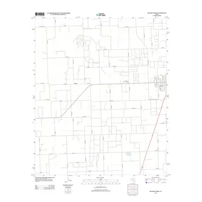
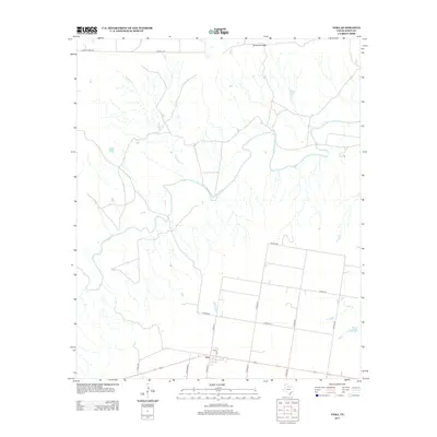
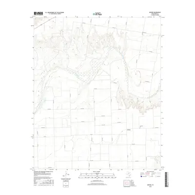
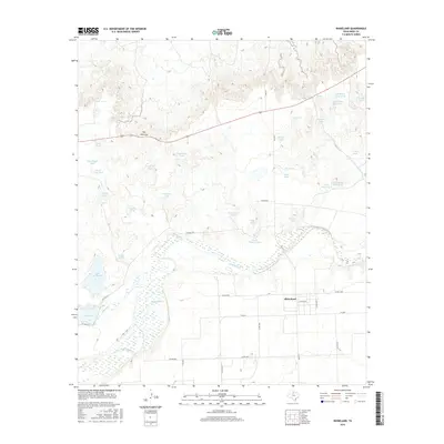
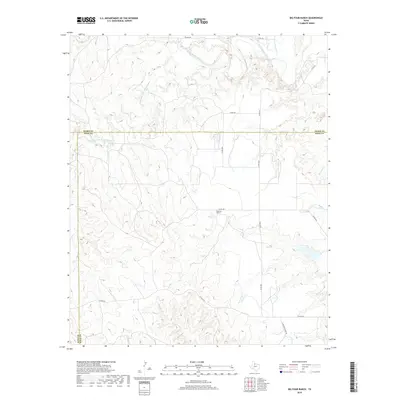
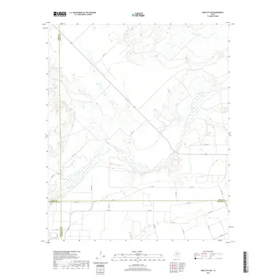
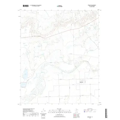
1966 Map of Big Four Ranch
USGS Topo · Published 1969About this map
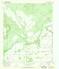
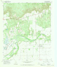
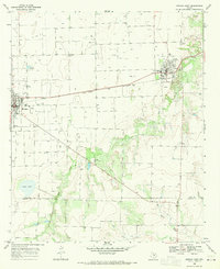
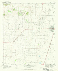
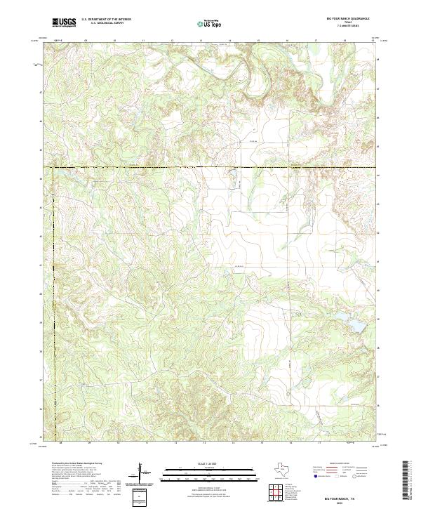
The North Wichita River meanders across this West Texas landscape, marking a terrain defined by converging watercourses and ranching history. Located at the intersection of King, Knox, and Foard counties, the map highlights the Big Four Ranch and the settlement of Masterson to the southwest. The presence of numerous river crossings, labeled as fords, and an extensive network of fence lines indicated by the USGS reflects the area's primary use as grazing land during the mid-1960s. The drainage patterns are complex, featuring the Middle Fork Wichita River and several tributaries like Buffalo Creek and Salt Creek. A solitary Gravel Pit near the northern riverbank and a marked Pipeline running through the southern sections show the subtle infrastructure of industry and transport in an otherwise open, rural expanse.
Find a feature on this map
15 named features on this map. Tap any name to fly to it.
Don’t see what you’re looking for? This feature index may not catch every label — zoom into the map to look around manually.
Map Details
Editions of this 1966 Big Four Ranch Map
This is the sole edition of this map. No revisions or reprints were ever made.
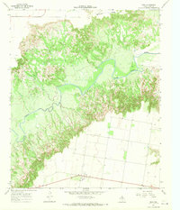
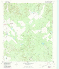
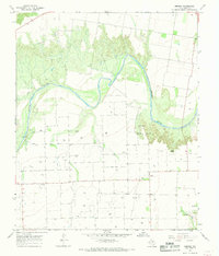
Historical Maps of Knox County Through Time
73 maps found
1966 Big Four Ranch
Knox County, TX
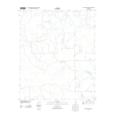
1966 Gilliland
Knox County, TX
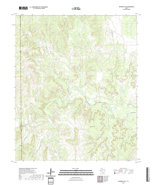
1966 Maverick Flat
Knox County, TX
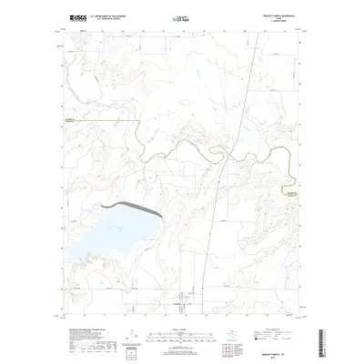
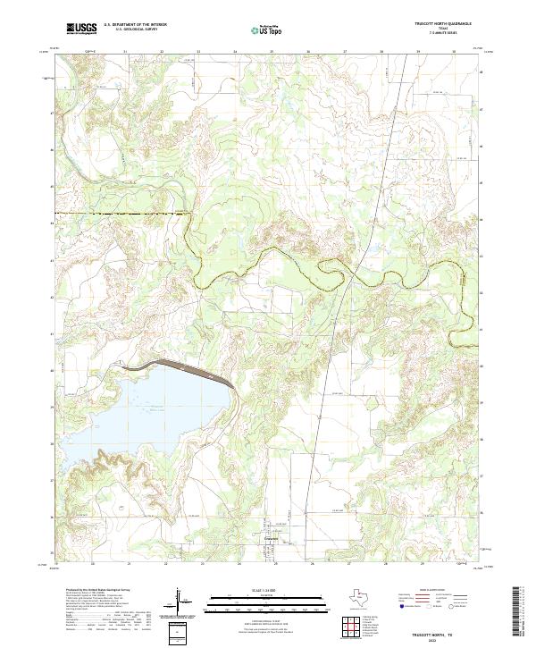
1966 Truscott North
Knox County, TX
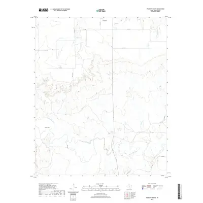
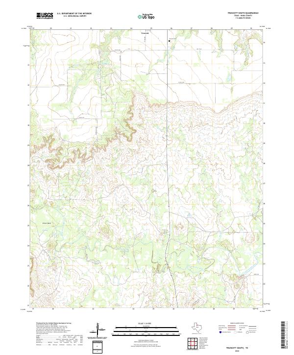
1966 Truscott South
Knox County, TX
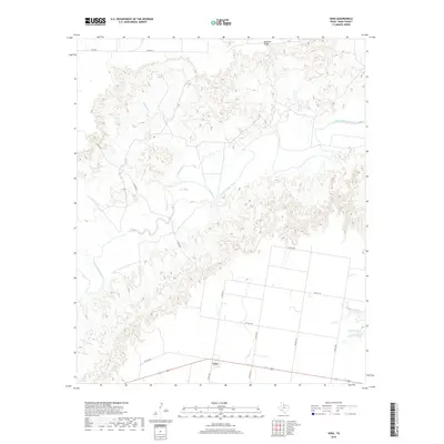
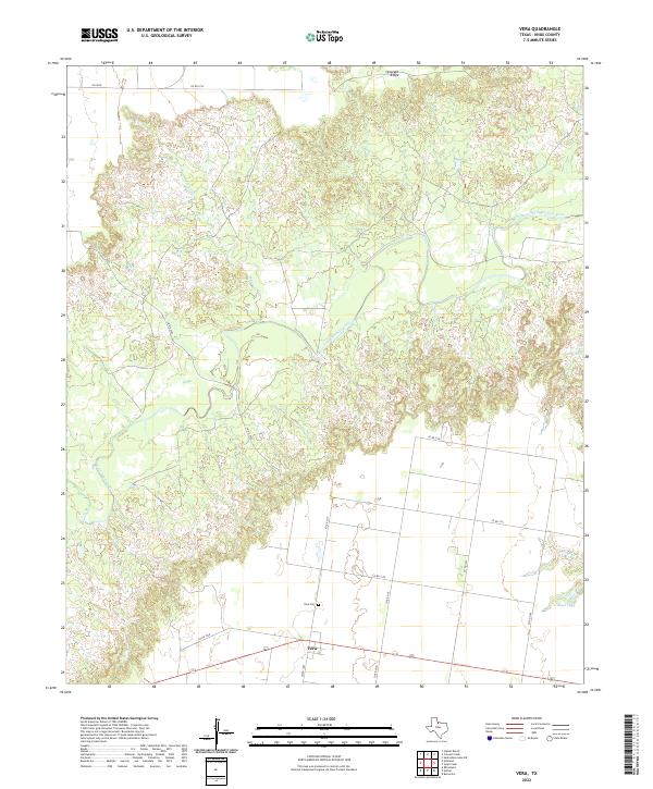
1966 Vera
Knox County, TX
1967 Cedar Mountain
Knox County, TX
1967 Hefner
Knox County, TX
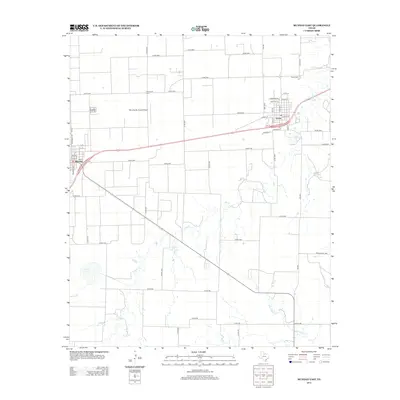
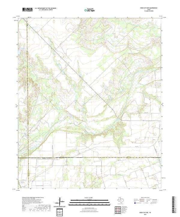
1967 Knox City NW
Knox County, TX
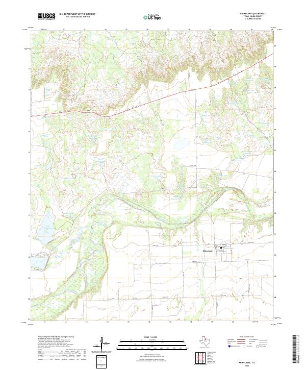
1967 Rhineland
Knox County, TX
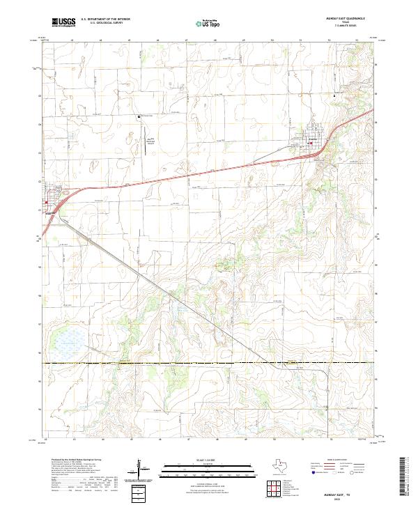
1968 Munday East
Knox County, TX
1968 Munday West
Knox County, TX
1985 Lake Kemp
Knox County, TX
2010 Big Four Ranch
Knox County, TX
2010 Cedar Mountain
Knox County, TX
2010 Gilliland
Knox County, TX
2010 Hefner
Knox County, TX
2010 Knox City NW
Knox County, TX
2010 Maverick Flat
Knox County, TX
2010 Munday East
Knox County, TX
2010 Munday West
Knox County, TX
2010 Rhineland
Knox County, TX
2010 Truscott South
Knox County, TX
2010 Vera
Knox County, TX
2011 Truscott North
Knox County, TX
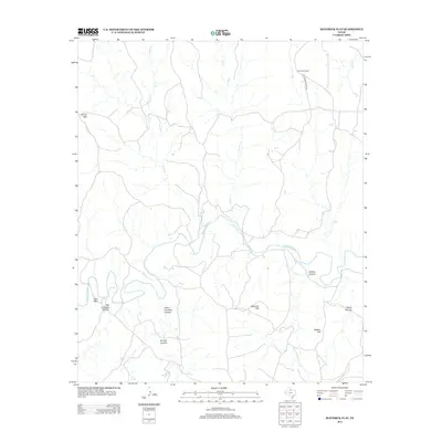
2012 Maverick Flat
Knox County, TX
2012 Munday East
Knox County, TX
2013 Big Four Ranch
Knox County, TX
2013 Cedar Mountain
Knox County, TX
2013 Gilliland
Knox County, TX
2013 Hefner
Knox County, TX
2013 Knox City NW
Knox County, TX
2013 Munday West
Knox County, TX
2013 Rhineland
Knox County, TX
2013 Truscott North
Knox County, TX
2013 Truscott South
Knox County, TX
2013 Vera
Knox County, TX
2016 Big Four Ranch
Knox County, TX
2016 Cedar Mountain
Knox County, TX
2016 Gilliland
Knox County, TX
2016 Hefner
Knox County, TX
2016 Knox City NW
Knox County, TX

2016 Maverick Flat
Knox County, TX
2016 Munday East
Knox County, TX
2016 Munday West
Knox County, TX
2016 Rhineland
Knox County, TX
2016 Truscott North
Knox County, TX
2016 Truscott South
Knox County, TX
2016 Vera
Knox County, TX
2019 Big Four Ranch
Knox County, TX
2019 Cedar Mountain
Knox County, TX
2019 Gilliland
Knox County, TX
2019 Hefner
Knox County, TX
2019 Knox City NW
Knox County, TX
2019 Maverick Flat
Knox County, TX
2019 Munday East
Knox County, TX
2019 Munday West
Knox County, TX
2019 Rhineland
Knox County, TX
2019 Truscott North
Knox County, TX
2019 Truscott South
Knox County, TX
2019 Vera
Knox County, TX
2022 Big Four Ranch
Knox County, TX
2022 Cedar Mountain
Knox County, TX
2022 Gilliland
Knox County, TX
2022 Hefner
Knox County, TX
2022 Knox City NW
Knox County, TX
2022 Maverick Flat
Knox County, TX
2022 Munday East
Knox County, TX

2022 Munday West
Knox County, TX
2022 Rhineland
Knox County, TX
2022 Truscott North
Knox County, TX
2022 Truscott South
Knox County, TX
2022 Vera
Knox County, TX