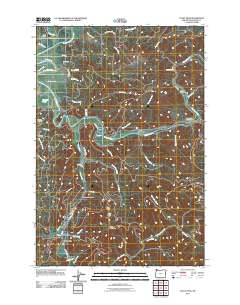
2011 Map of Foley Peak
USGS Topo · Published 2011About this map
The Nehalem River defines the central geography of this coastal Oregon region, winding past riverside settlements and timber-rich hillsides. Small communities and named junctions like Wheeler, Mohler, and Foss follow the river's course, while Nehalem Falls marks a significant drop in the waterway to the northeast. The map provides a clear look at the area's specialized local infrastructure, including the Nehalem Fish Hatchery located south of Foley Creek.
Find a feature on this map
58 named features on this map. Tap any name to fly to it.
Don’t see what you’re looking for? This feature index may not catch every label — zoom into the map to look around manually.
Map Details
Editions of this 2011 Foley Peak Map
This is the sole edition of this map. No revisions or reprints were ever made.
Other maps of this area
1937 · Nehalem
USGS Topo · 1:62,500
1937 · Enright
USGS Topo · 1:62,500
1939 · Saddle Mountain
USGS Topo · 1:62,500
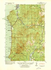
1940 · Cape Falcon
USGS Topo · 1:62,500
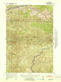
1941 · Enright
USGS Topo · 1:62,500
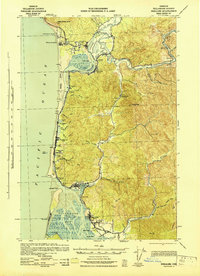
1943 · Nehalem
USGS Topo · 1:62,500
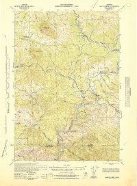
1943 · Saddle Mtn.
USGS Topo · 1:62,500

1948 · Vancouver
USGS Topo · 1:250,000
1950 · Vancouver
USGS Topo · 1:250,000
1950 · Vancouver
USGS Topo · 1:250,000