Loading...
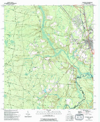
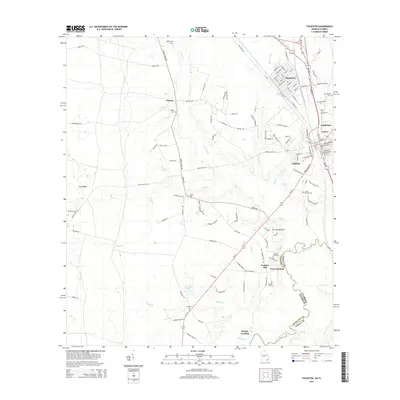
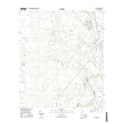
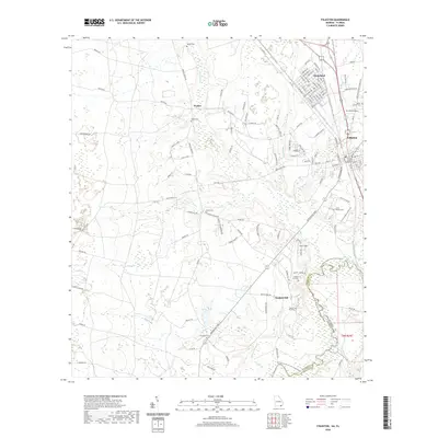
Loading map...1994 Map of Folkston
USGS Topo · Published 1994About this map
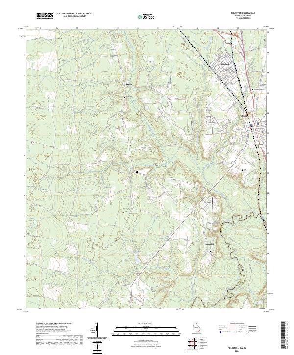
Traders Hill stands as a significant point along the St Marys River, where the Charlton and Nassau county line follows the winding watercourse through the Georgia and Florida borderlands. This 1990s survey shows the established infrastructure of Folkston, the county seat, complete with its Courthouse, City Hall, and Charlton High Sch. The map reveals a landscape defined by its riparian network, from the wide Spanish Creek to the narrow Ben Devils Elbow.
Find a feature on this map
47 named features on this map. Tap any name to fly to it.
Don’t see what you’re looking for? This feature index may not catch every label — zoom into the map to look around manually.
Map Details
Date Portrayed1994
Date Published1994
PublisherU.S. Geological Survey
Map TypeTopographic
Scale1:24,000
Physical Dimensions22 x 26.8 inches
Editions of this 1994 Folkston Map
This is the sole edition of this map. No revisions or reprints were ever made.
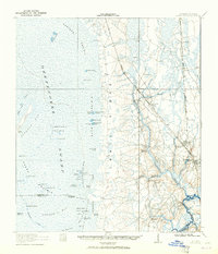
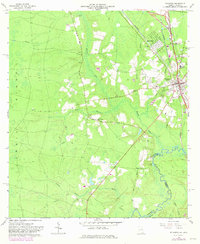
Historical Maps of Folkston Through Time
8 maps found
Featured Locations
Source Details
SourceU.S. Geological Survey
CopyrightPublic Domain