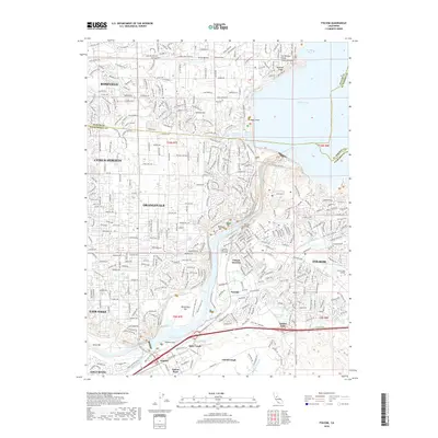
2018 Map of Folsom
USGS Topo · Published 2018About this map
The waters of Folsom Lake and Lake Natoma dominate the landscape of this 2018 survey, reflecting the significant water management infrastructure on the American River. This detailed view captures the dense suburban expansion of Roseville and Citrus Heights in the north and west, contrasting with the recreational and historical corridors along the river. Of particular note for local historians are the river's shoreline features, including Mississippi Bar and Negro Bar, which point to the area's rich hydraulic mining and dredging history. The map also delineates the transition into the foothills, where the Folsom South Canal begins its journey south. For those tracing the evolution of local landmarks, the Rainbow Bridge and Lakeside Memorial Lawn Cem are clearly marked, alongside the developing campus of Folsom Lake College.
Find a feature on this map
52 named features on this map. Tap any name to fly to it.
Don’t see what you’re looking for? This feature index may not catch every label — zoom into the map to look around manually.
Map Details
Editions of this 2018 Folsom Map
This is the sole edition of this map. No revisions or reprints were ever made.
Other maps of this area

1891 · Sacramento
USGS Topo · 1:125,000

1892 · Sacramento
USGS Topo · 1:125,000

1893 · Sacramento
USGS Topo · 1:125,000

1902 · Fairoaks
USGS Topo · 1:62,500

1908 · Buffalo Creek
USGS Topo · 1:31,680

1910 · Roseville
USGS Topo · 1:31,680

1911 · Mills
USGS Topo · 1:31,680

1911 · Antelope
USGS Topo · 1:31,680

1914 · Folsom
USGS Topo · 1:31,680
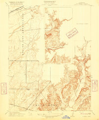
1916 · Buffalo Creek
USGS Topo · 1:31,680