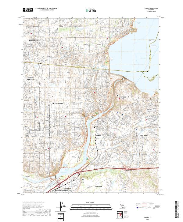
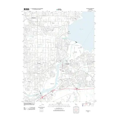
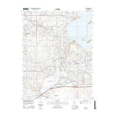
2022 Map of Folsom
USGS Topo · Published 2022About this map
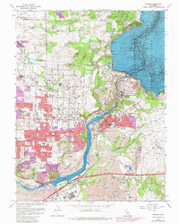
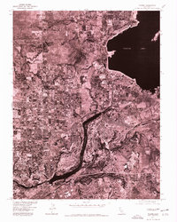
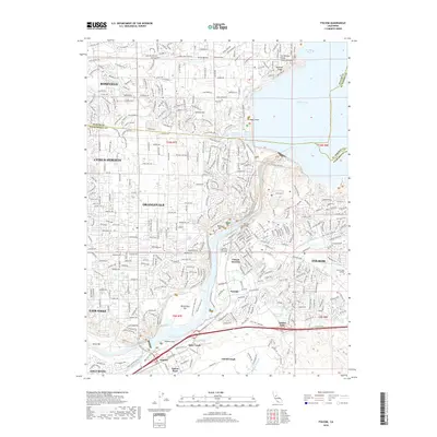
The American River and the expansive Folsom Lake define the geography of this Northern California corridor, where the edges of Roseville and Folsom meet historical gold-era landscapes. The map captures a densely layered interface of modern suburban development and preserved recreational spaces, including the massive Lake Natoma and its associated landmarks like Negro Bar and Beals Point. Historically significant locations such as Prairie City, Natoma, and Folsom Junction trace the evolution of the region's transport and settlement patterns from early mining days to current academic hubs like Folsom Lake College. The intricate network of waterways, including the Folsom South Canal, Willow Cr, and the Rebel Hill Ditch, illustrates a long history of water management and hydraulic engineering essential to the Sacramento Valley. Local genealogy is well-represented through markers such as the Lakeside Memorial Lawn Cem and established communities like Orangevale and Citrus Heights.
Find a feature on this map
76 named features on this map. Tap any name to fly to it.
Don’t see what you’re looking for? This feature index may not catch every label — zoom into the map to look around manually.
Map Details
Editions of this 2022 Folsom Map
This is the sole edition of this map. No revisions or reprints were ever made.
Historical Maps of Roseville Through Time
10 maps found
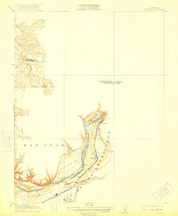
1914 Folsom
Sacramento County, CA
1941 Folsom
Sacramento County, CA

1944 Folsom
Sacramento County, CA
1954 Folsom
Sacramento County, CA
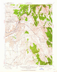
1967 Folsom
Sacramento County, CA
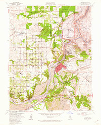
1975 Folsom
Sacramento County, CA
2012 Folsom
Sacramento County, CA
2015 Folsom
Sacramento County, CA
2018 Folsom
Sacramento County, CA
2022 Folsom
Sacramento County, CA