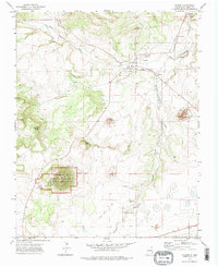
1972 Map of Folsom
USGS Topo · Published 1975About this map
Folsom sits at the northern edge of this high-plains landscape, where the Colorado and Southern railroad tracks follow the winding course of the Dry Cimarron River. The geography is defined by volcanic features, most notably the massive cinder cone of Capulin Mountain, protected within the Capulin Mountain National Monument. To the north, the terrain transitions into distinctive peaks like Buffalo Head and Baby Capulin, while the drainage of Pinabete Creek cuts through the southern reaches.
Find a feature on this map
26 named features on this map. Tap any name to fly to it.
Don’t see what you’re looking for? This feature index may not catch every label — zoom into the map to look around manually.
Map Details
Editions of this 1972 Folsom Map
2 editions found
Other maps of this area

1954 · Raton
USGS Topo · 1:250,000

1954 · Dalhart
USGS Topo · 1:250,000

1958 · Raton
USGS Topo · 1:250,000

1958 · Dalhart
USGS Topo · 1:250,000

1962 · Dalhart
USGS Topo · 1:250,000
1971 · Trinchera Pass
USGS Topo · 1:24,000

1971 · Kiowa
USGS Topo · 1:24,000

1971 · Robinson Peak
USGS Topo · 1:24,000

1972 · Emery Peak
USGS Topo · 1:24,000

1972 · Little Grande
USGS Topo · 1:24,000