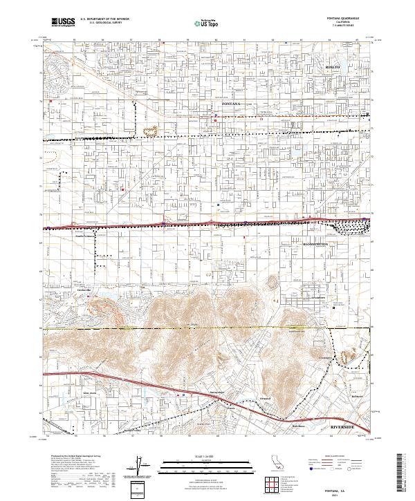
2021 Map of Fontana
USGS Topo · Published 2021About this map
Fontana and Rialto dominate the northern landscape of this San Bernardino County survey, showing a dense grid of residential and industrial development. The corridor between Kaiser and Bloomington is defined by a heavy transport network, including the Pacific Electric Trl and major thoroughfares like Foothill Blvd and Valley Blvd. This infrastructure supports a transition from the urban centers in the north to the distinctive industrial and agricultural zones near South Fontana.
Find a feature on this map
59 named features on this map. Tap any name to fly to it.
Don’t see what you’re looking for? This feature index may not catch every label — zoom into the map to look around manually.
Map Details
Editions of this 2021 Fontana Map
This is the sole edition of this map. No revisions or reprints were ever made.
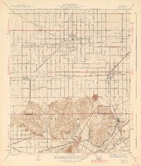
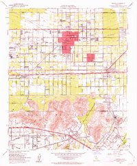
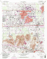
Historical Maps of Kaiser Through Time
4 maps found