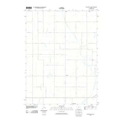
2010 Map of Fontanelle SW
USGS Topo · Published 2010About this map
The West Fork Middle Nodaway River and the West Nodaway River converge in this agricultural region of southwest Iowa, creating a landscape defined by meandering watercourses and a strict section-line road grid. The village of Bridgewater sits at the southern edge of the map, while the small settlement of Berea is located to the north, connected by a network of rural routes including Brown Ave and Cedar Ave.
Find a feature on this map
38 named features on this map. Tap any name to fly to it.
Don’t see what you’re looking for? This feature index may not catch every label — zoom into the map to look around manually.
Map Details
Editions of this 2010 Fontanelle SW Map
This is the sole edition of this map. No revisions or reprints were ever made.
Other maps of this area

1954 · Omaha
USGS Topo · 1:250,000

1957 · Omaha
USGS Topo · 1:250,000

1958 · Omaha
USGS Topo · 1:250,000

1971 · Adair South
USGS Topo · 1:24,000

1971 · Anita
USGS Topo · 1:24,000

1971 · Fontanelle
USGS Topo · 1:24,000

1971 · Canby
USGS Topo · 1:24,000

1971 · Massena
USGS Topo · 1:24,000

1971 · Fontanelle SW
USGS Topo · 1:24,000

1980 · Nevinville
USGS Topo · 1:24,000