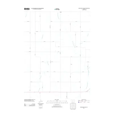
2013 Map of Fontanelle SW
USGS Topo · Published 2013About this map
Berea sits at the northern edge of this agricultural landscape in Adair County, situated near the headwaters where the W Fork Middle Nodaway River begins its course southward. The map reveals a quintessential Iowa section-line grid, defined by routes such as Adair-Cass Ave and Lansing Rd, which partition the fertile terrain between numerous waterways. In addition to the primary river forks, smaller tributaries like Ninemile Cr, Sevenmile Cr, and Rutt Br create a dendritic drainage pattern that has historically dictated the placement of farmsteads and rural infrastructure. The southern boundary is marked by a major transit corridor along 270th St, providing a clear look at the intersection of local township roads and regional hydrologic features during the early 21st century.
Find a feature on this map
35 named features on this map. Tap any name to fly to it.
Don’t see what you’re looking for? This feature index may not catch every label — zoom into the map to look around manually.
Map Details
Editions of this 2013 Fontanelle SW Map
This is the sole edition of this map. No revisions or reprints were ever made.
Other maps of this area

1954 · Omaha
USGS Topo · 1:250,000

1957 · Omaha
USGS Topo · 1:250,000

1958 · Omaha
USGS Topo · 1:250,000

1971 · Adair South
USGS Topo · 1:24,000

1971 · Anita
USGS Topo · 1:24,000

1971 · Fontanelle
USGS Topo · 1:24,000

1971 · Canby
USGS Topo · 1:24,000

1971 · Massena
USGS Topo · 1:24,000

1971 · Fontanelle SW
USGS Topo · 1:24,000

1980 · Nevinville
USGS Topo · 1:24,000