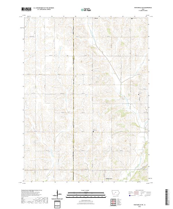
2022 Map of Fontanelle SW
USGS Topo · Published 2022About this map
Bridgewater sits in the southwestern portion of this Adair County landscape, where the W Fork Middle Nodaway River cuts through the undulating prairie. The area is defined by its rural agricultural layout, with a dense network of section-line roads like Richland Rd and Co Rd N77 connecting isolated farmsteads and small settlements. The community of Berea is positioned at the northern edge, while the interior is dotted with historical points of interest for genealogists, including Saint Marys Cem and Sears Cem. These cemeteries, along with Eureka Cem in the northeast, serve as the primary markers of local family history in a region dominated by the branching drainage systems of the W Nodaway River and its tributaries like Sevenmile Cr.
Find a feature on this map
50 named features on this map. Tap any name to fly to it.
Don’t see what you’re looking for? This feature index may not catch every label — zoom into the map to look around manually.
Map Details
Editions of this 2022 Fontanelle SW Map
This is the sole edition of this map. No revisions or reprints were ever made.
Other maps of this area

1954 · Omaha
USGS Topo · 1:250,000

1957 · Omaha
USGS Topo · 1:250,000

1958 · Omaha
USGS Topo · 1:250,000

1971 · Adair South
USGS Topo · 1:24,000

1971 · Anita
USGS Topo · 1:24,000

1971 · Fontanelle
USGS Topo · 1:24,000

1971 · Canby
USGS Topo · 1:24,000

1971 · Massena
USGS Topo · 1:24,000

1971 · Fontanelle SW
USGS Topo · 1:24,000

1980 · Nevinville
USGS Topo · 1:24,000