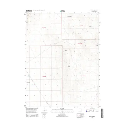
2014 Map of Foote Range
USGS Topo · Published 2014About this map
Bishop Springs Area and Twin Springs provide rare water sources in this arid stretch of the Great Basin, where the topography is defined by dramatic north-south oriented ridges. The landscape is a complex system of geological folds including Cockscomb Ridge, Chevron Ridge, and the Confusion Range. These high points create natural corridors and barriers, such as Wild Horse Pass, which have historically dictated the movement of livestock and travelers through the region.
Find a feature on this map
16 named features on this map. Tap any name to fly to it.
Don’t see what you’re looking for? This feature index may not catch every label — zoom into the map to look around manually.
Map Details
Editions of this 2014 Foote Range Map
This is the sole edition of this map. No revisions or reprints were ever made.
Other maps of this area

1908 · Fish Springs
USGS Topo · 1:250,000

1910 · Fish Springs
USGS Topo · 1:250,000

1953 · Delta
USGS Topo · 1:250,000

1958 · Delta
USGS Topo · 1:250,000

1959 · Cowboy Pass
USGS Topo · 1:62,500

1960 · Granite Mountain
USGS Topo · 1:62,500

1960 · Gandy
USGS Topo · 1:62,500

1961 · Trout Creek
USGS Topo · 1:62,500

1962 · Delta
USGS Topo · 1:250,000
1979 · Fish Springs
USGS Topo · 1:100,000